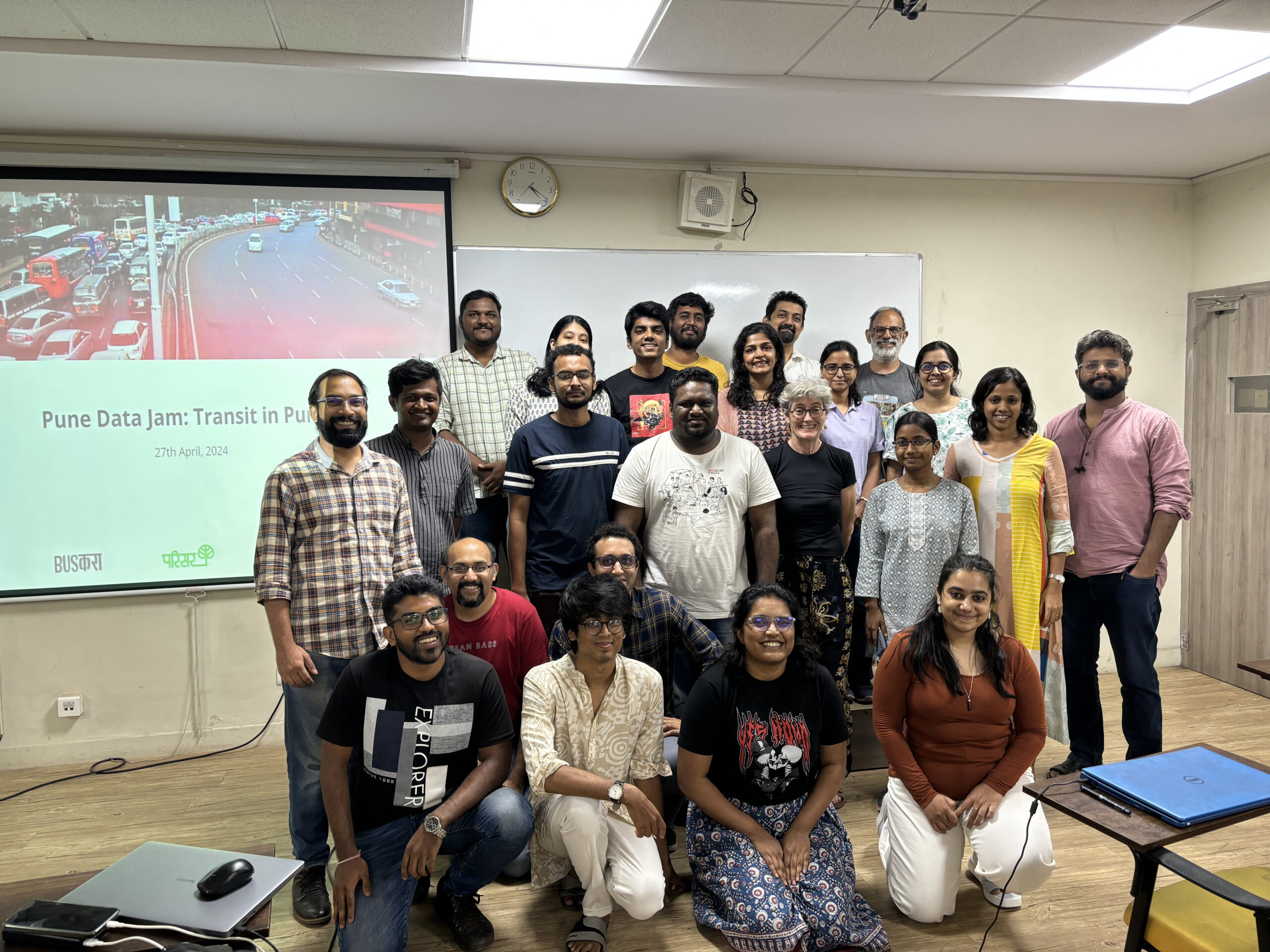
On 27th April, Busकरा/BusKara, in collaboration with OpenCity.in, Parisar and GeoPune, organised a Data Jam at Symbiosis School of Economics, Pune. The theme of the data jam was “Transit in Pune”.
The participants included architects, financial analysts, students, and professors. The teams were guided through the process by facilitators from GeoPune, Chinmay Shaligram and Devdatta Tengshe as well as Nikhil Sheth.

The event was kicked off with a round of introduction of the organisers, followed by a brief presentation by Parisar on the state of transit in Pune. The presentation highlighted Pune’s rising congestion, air pollution and car-centric development. It laid down important context and the intention behind the event – to understand the impact of poor sustainable transit infrastructure on the citizens of Pune.


The eighteen participants were divided into three teams, after which they selected a problem statement and analysed civic data to find answers and solutions. The three teams were: Transport Warriors, Paul Vaat, and the Ministry of Ko Depo. With curiosity, the participants began the data jam at noon.
The problem statements selected by the groups were:
- Assessing a route from point A to point B on the basis of time, cost and potential risks.
- Public transport accessibility and connectivity to healthcare and educational institutions.
- Assessing correlations between bus stops and routes and Pune’s slum population.
Outputs
Transport Warriors

Team Transport Warriors, whose problem statement was “Assessing a route from point A to point B on the basis of time, cost and potential risks”, first tried to find the routes with heaviest passenger footfall. They were unable to obtain route wise passenger footfall data so they took another approach. By looking at PMPML’s timetable they found the routes that had the most frequent buses. They selected route 100: MaNaPa to Hinjewadi, which sees 63 trips daily over a distance of 26 km.


They then compared different modes of transport such as aggregators, buses, metro, cycling and private vehicles such as two-wheelers and cars. After comparing costs, time taken, risks, convenience and perception of desirability, they found that although the bus is cheapest, it is the mode that takes the most amount of time (79 minutes). In comparison, two-wheelers are the most convenient while they have the highest number of risks, including safety.

Buses also had risks such as breakdowns and getting stuck in traffic, while using aggregator platforms is often subject to surge pricing, uncertainty during peak hours, etc. By taking a look at these risks, the group highlighted the current gaps in the public transit system and how private transport addresses these gaps. The group came up with recommendations to improve the experience of traveling on route number 100:
- Starting shuttle services to various organisations or clusters within the route and from Hinjewadi
- Allowing informal transport, such as e-rickshaws (shared) and unshared, to bridge first mile and last mile connectivity issues for buses
- Improving connectivity between transit hubs such as metros and nearest railway stations
- Improving the suburban rail system within Pune like in Mumbai in tandem with the planning of SEZs like Hinjewadi
In the lively discussion that followed, it was pointed out that expanding the BRTS system would eliminate traffic for buses and allow them to reach faster.
Paul Vaat

Paul Vaat studied “Public transport accessibility and connectivity to healthcare and educational institutions”. They foregrounded the need for public transport near these institutions as people visit schools and hospitals quite regularly. Although their problem statement and final analysis was focused on public transport, they also explored the gaps in walking and cycling infrastructure. They studied 7 wards, mostly located in the core city:
- Shaniwarwada
- Kasba Peth
- KEM hospital
- Dr. Kotnis hospital
- Mahatma Phule Mandal
- Tilak Smarak Mandir
- Mahatma Phule Smarak

To assess connectivity, they mapped bus stops, schools and hospitals location data and assessed the proximity between the bus stops and the mapped institutions. They found several blind spots where bus stops were absent.

They also overlaid cycle tracks and found that the cycle tracks needed to be expanded to improve connectivity. While assessing the status of footpaths, they found that a high percentage of existing footpaths were unusable.

The group emphasised the benefits of sustainable and accessible transit modes by connecting them to Sustainable Development Goals, namely:
- Goal 3: Good Health and Well-Being
- Goal 4: Quality Education
- Goal 5: Gender Equality
- Goal 10: Reduced Inequalities
- Goal 11: Sustainable CIties and Communities
- Goal 13: Climate Action
Ministry of Ko Depo

The Ministry of Ko Depo tried to map bus routes and analyse their proximity to low-income neighbourhoods by overlaying slum population data. Unfortunately, they ran into hurdles due to incomplete and missing data and weren’t able to complete their analysis. However, the team mentioned that even though they weren’t able to complete their task, they had spirited discussions on their topic, and engaging brainstorming sessions.
Key Takeaways
The purpose of the data jam wasn’t to find groundbreaking solutions to complex civic issues, but rather to allow citizens to interact with civic data and get a glimpse of the world of sustainable mobility. All the groups found that there is a need for better, up-to-date and reliable public data.
According to Chinmay Shaligram of GeoPune, “the Pune Data Jam was an excellent showcase of how opening up civic data can foster greater understanding and transparency between government agencies and the public. Participants explored the city’s public transport data, marrying location information with non-spatial data to uncover localised insights and potential areas for improvement.”
Rugvedi, an architect and urban planning student added that “I had a similar topic for my thesis. I just wanted to explore how data is being analysed, what kind of traffic issues are pressing and how I can make my thesis better. I can safely say that I had a wonderful experience and I got a few insights that I hadn’t touched upon in my work — which I will definitely consider during the later part of my thesis.”
“Excellent session organised by BusKara and Parisar. Lot of brainstorming sessions and problem solving from morning to evening, and just a great way to exchange ideas and get the essence of research.” said Sumrit, a student at Gokhale Institute of Political Economy.