Bengaluru’s traffic and infrastructure are always in the news for the wrong reasons. With time proving that upscaling the infrastructure can never meet the city’s growing population, it is only fair that we give the public a platform to reimagine the spaces they inhabit and use on a daily basis.
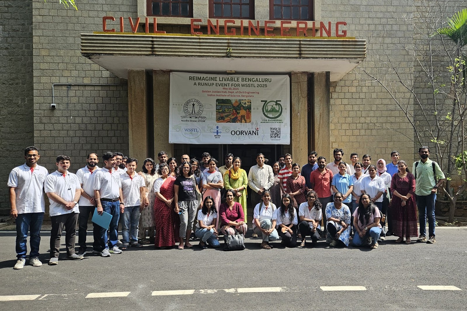
In the run up to the First World Symposium on Sustainable Transport and Livability (WSSTL 2025) that IISc is hosting from the 25th to 27th June 2025, Oorvani partnered with the IISc Sustainable Transportation Lab (IST) to host a design jam titled ‘Reimagine Livable Bengaluru’. The design jam was supported by WRI India. The design jam focused on the theme of “mobility”, and the various factors that impact and are impacted by it. The day saw participants focus on and showcase how they would redesign a location of their choice in Bengaluru in a way that it would ease mobility and livability at that location.
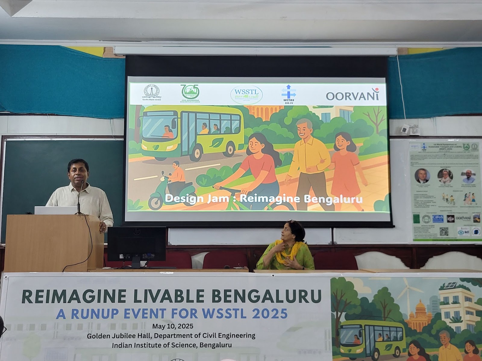
The event began with a presentation explaining the purpose of the design jam and how sustainable transport connects to quality of life. The talks from Ashish Verma, who heads IST, and Meera K, managing trustee of Oorvani Foundation, highlighted not only the environmental benefits, but also how sustainable transport improves accessibility, supports physical and mental well-being, and enhances the overall livability of a city.
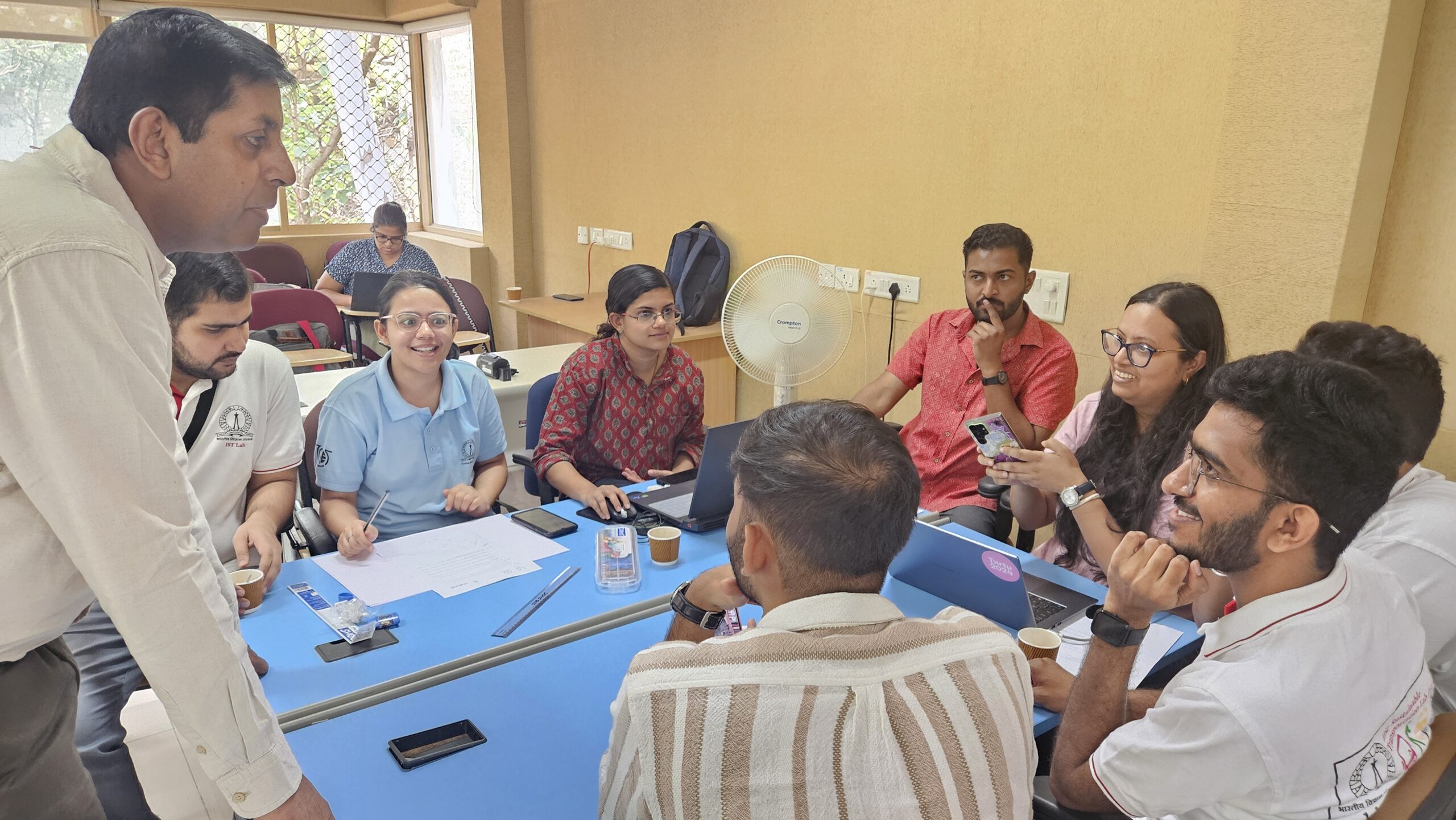
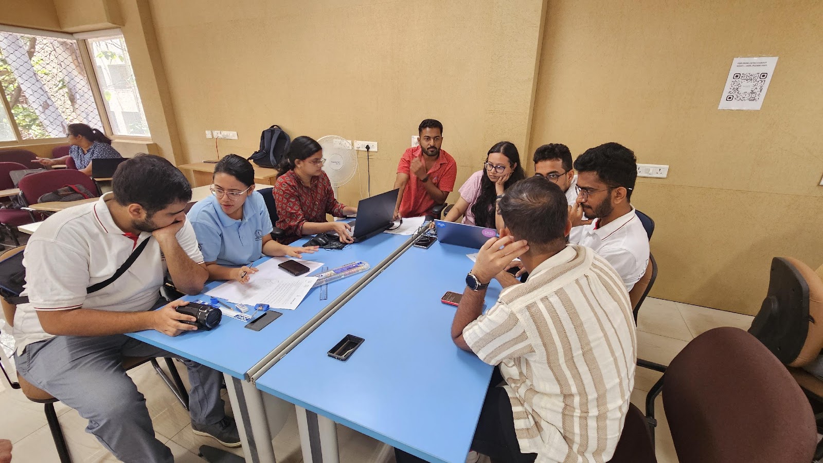
There were a total of 19 participants who were divided into t teams. The teams were facilitated by personnel from the IST and partner organizations.
Team 1
Raksha Nagaraj, Nikhil Nayak, Mridula and Luqman worked on the theme ‘Traffic and Wellbeing’ using Doddakannelli Road near Sarjapura Road as a use case as it is a critical artery serving both residential communities and major technology campuses. The team noted that the road sees high volumes of traffic and is dotted with services/amenities to cater to the residences and technology parks in the area.
A deeper analysis of the road’s issues led them to note that disorganized parking, unregulated movement of heavy vehicles, absence of sanitation facilities, lack of pedestrian infrastructure and illegal hawkers all add to the chaos.
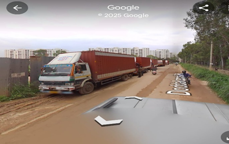
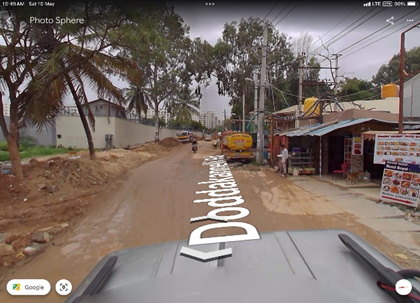
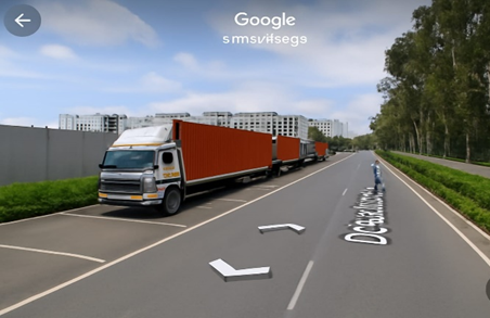
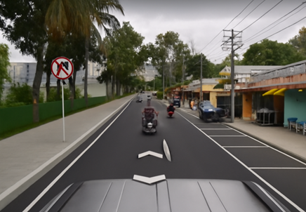
The solution they identified was a two-zone street reconfiguration, where zone 1 can be used for public and commercial utilities, and zone 2 can be demarcated for residential and private vehicle use. Such a separation can reduce conflict and chaos.They used Google Maps and Google Earth to capture street view, https://deepai.org/ for concept images and cross validated them to ensure accurate representation.
Team 2
Charan, Sindhu, Mayur, Shyama and Abhilash had the theme “Transport, Health and Happiness” to depict in their design. For this, they aptly chose mixed garbage lining our streets as a deterrent for walkability and as a cause for disruption in health and happiness.
The team made a good case for how clean streets alone can improve Non-Motorized Transport and promote walkability, reduce emissions, prevent spread of diseases and keep public happy and social.

Ideas were proposed to use multi-colored and high capacity sensor-controlled bins, GPS and location services for garbage disposal centers, awareness building, encouraging the use of BBMP apps and urban design centred around active mobility.
Team 3
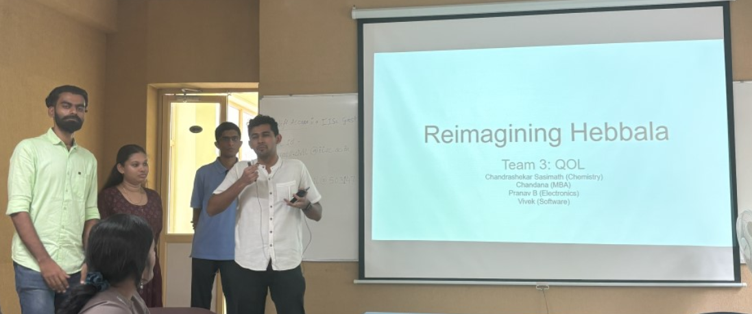
Working on the theme “Transport and Quality of Life”, Vivek, Chandrashekar, Chandana and Pranav identified the vicinity of Hebbal flyover as a major barrier to smooth commuting and better urban living.
The team noted that the area faces several challenges—high traffic volumes, lack of designated pick-up and drop-off zones, difficulty in crossing roads, and overcrowding due to a major bus stand. Team members envisioned that with three upcoming metro lines and a suburban rail hub nearby, these issues are likely to intensify. To tackle this, the group proposed several solutions: relocating the existing bus stop to reduce congestion, constructing skywalks to connect upcoming metro stations, enhancing pedestrian infrastructure with improved lighting and increased frequency of buses. The team was also quite vocal about how the Hebbal flyover itself has finished serving its purpose.
The team used google maps to show the intersection of an existing flyover, the metro rail line and metro station and the planned suburban rail. They propose a travelator and shifting the existing bus stop to remove some of the chaos. They also strongly advocated that the solution to Bengaluru’s problems is in simplification rather than building infrastructure.
Team 4
This team was assigned the theme ‘Transport, Equity and Accessibility’. Shreyas, Kiran and Smitha chose to depict how equity and accessibility can be improved using better planning in Devanahalli Aerospace SEZ.
Their research led them to The Aerospace Special Economic Zone (SEZ) in Devanahalli, located near Bengaluru as a rapidly developing corridor poised to host technology parks, automotive industries, manufacturing units, and residential settlements. With approximately 950 acres earmarked for development, this region demands a comprehensive infrastructure and mobility plan to ensure its growth is sustainable, inclusive, and future-ready as per the team.
The members made a detailed plan with administrative measures like tax rebates for companies providing free transport to its employees, monitoring and governance for equitable transit services, transport infrastructure with suburban rail, a logistics park for streamlined movement of goods and freight vehicles, staggered work timings to reduce congestion and envisioned a 15 minute city model to improve the overall quality of urban life.
Team 5
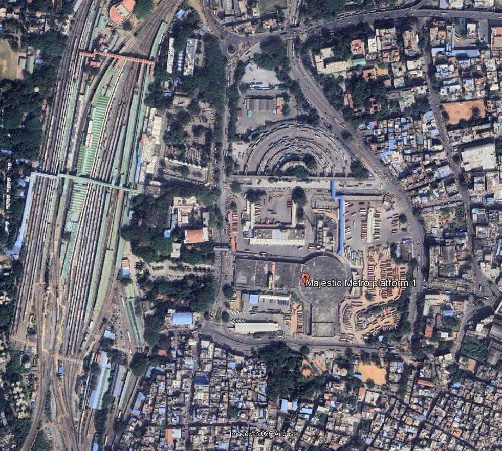
This team had the theme “Transport, Environmental Quality, and Disaster Resiliency” to work on and they demonstrated design changes that can show success in the Majestic area at the centre of the city. Pragya Singh, Aditya Verma, Sonia Das and Devika collaborated on this.
They noted that the location serves thousands of commuters daily and functions as a key intermodal transfer point in the city. However, its infrastructure does not fully support efficient connectivity, safety, or resilience to climatic impacts as they reported.
Noted problems included absence of seamless, grade-separated pedestrian connectivity between the bus terminal, metro station, and the railway station. Waterlogging and flooding, poor sanitation and hygiene in public toilets, and congestion and infrastructure deficiencies and poor maintenance were other issues they noted.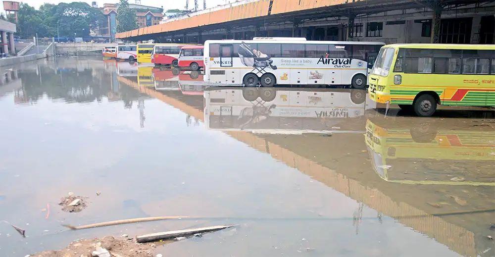
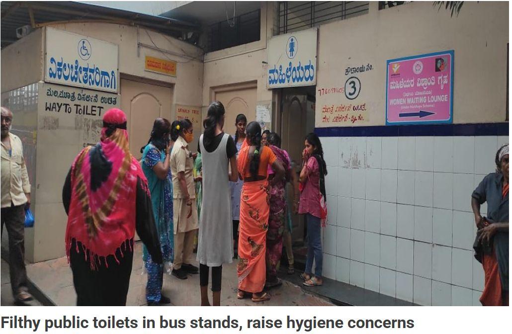
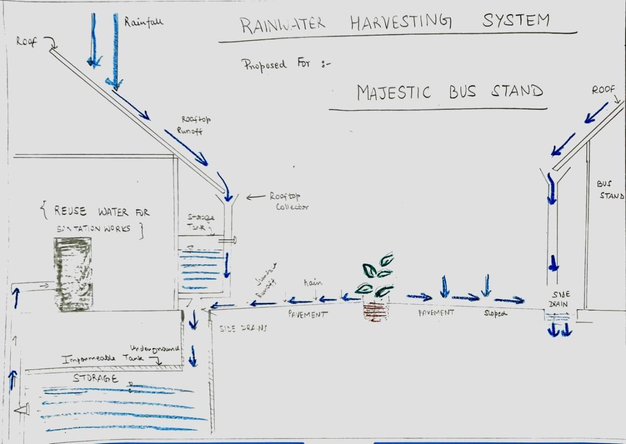
Proposed solutions were upgradation of public toilet facilities, rainwater harvesting, tactile paths and ramps, development of an extended skywalk system and emphasis on green infrastructure, inclusive design and sustainable materials.
Conclusions
The teams highlighted the challenges faced by commuters in general and pedestrians in particular when negotiating the roads in the city. While piled up garbage posed health-related challenges in one place, the presence of flyovers made life difficult for those using public transport in another. An important transit hub keeps going under water during heavy rains as it was built over a lake. Areas with large SEZs tend to face congestion and two of the teams looked at what can be done at two different parts of the city.
The teams noted that prioritising private vehicles has led the city to where it is, and pushing towards public transport and making it accessible by improving walkability would help address not only congestion, but also other challenges that affect a city’s liveability.