The Government of Karnataka’s budget for 2026-27, presented a few days back, included a slew of grants to develop Bengaluru. As a city notorious for two things – traffic congestion and water scarcity – the main allocations sought to address these two challenges.
The large allocations to solve traffic congestion focused heavily on adding more and more road infrastructure. While the budget approved the tunnel roads, to be built at an estimated Rs. 40,000 Crore, in the short term money was made available for white-topping, road upgradation of the Outer Ring Road (read widening), and other such road works.
While the budget noted that 41 km of the metro will be completed during this financial year, and that land acquisition is happening for the K-RIDE, the one entity conspicuously missing in the budget was buses – neither KSRTC nor BMTC merited a mention.
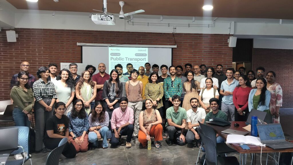
Bengaluru Public Transport Datajam
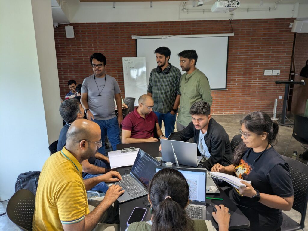
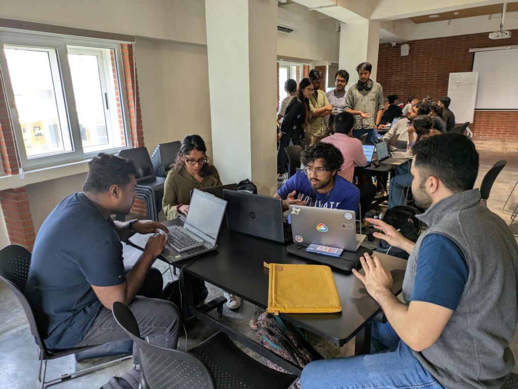
The Bengaluru Public Transport datajam was held in this context, to understand how public transport is the answer to the city’s congestion woes and needs more investment, as experts have been recommending for years. The datajam was conducted in partnership with WRI India, Friends of BMTC, Bengawalk and Data for Public Good. The event was supported by Samagata Foundation who were also the venue partners.
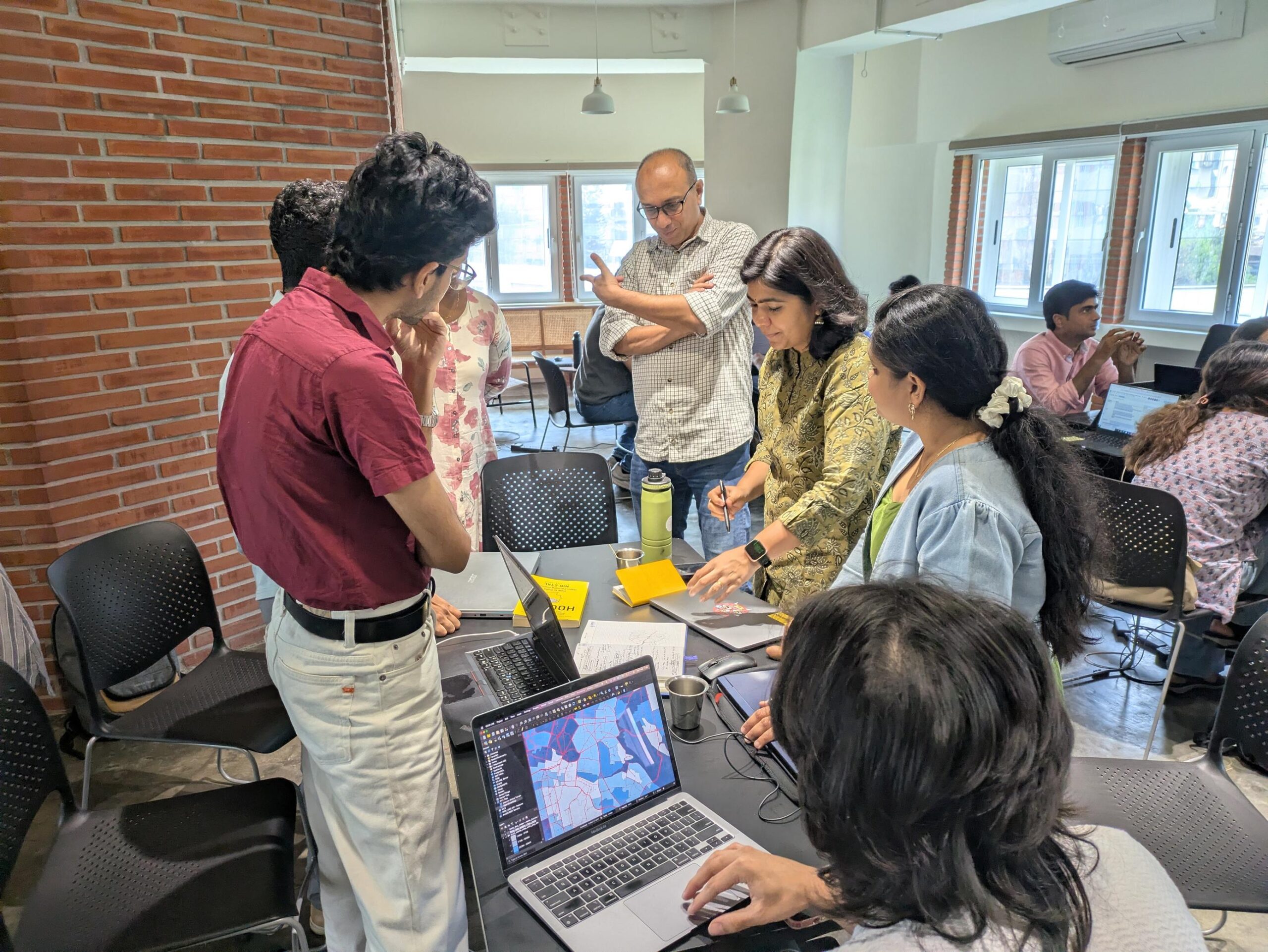
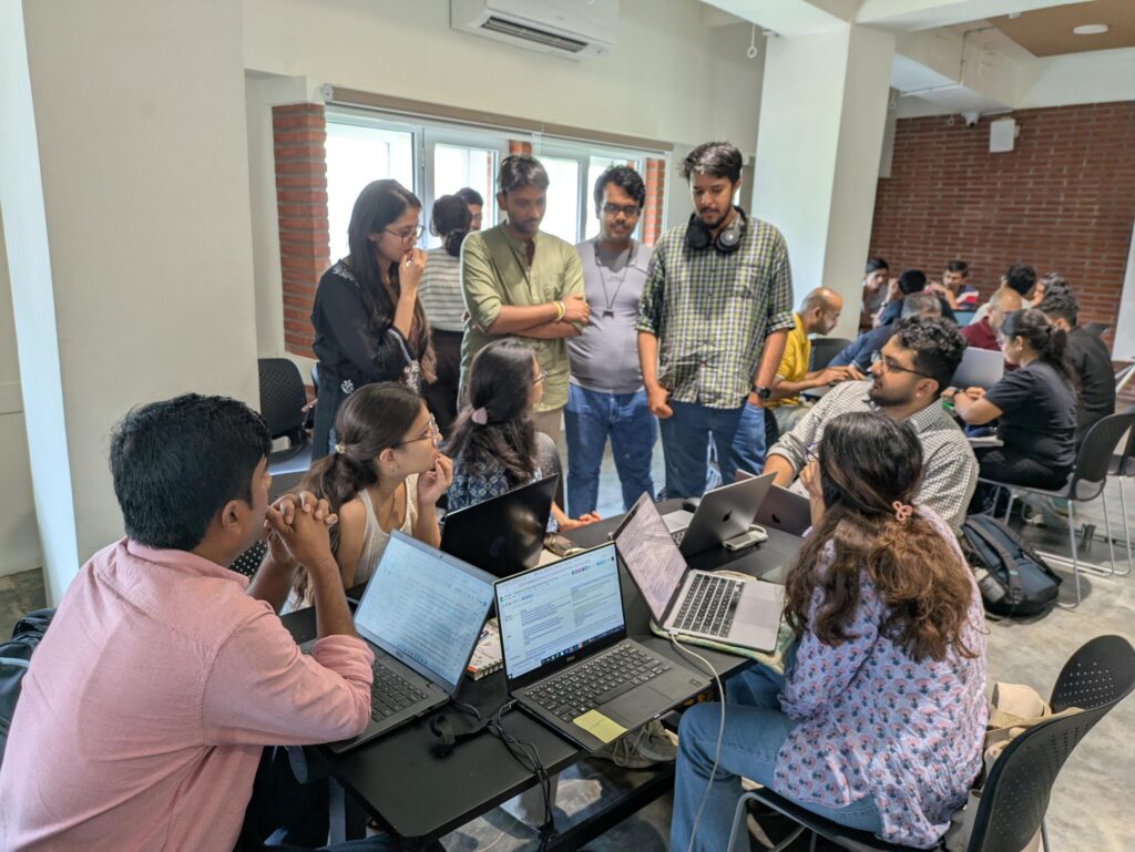
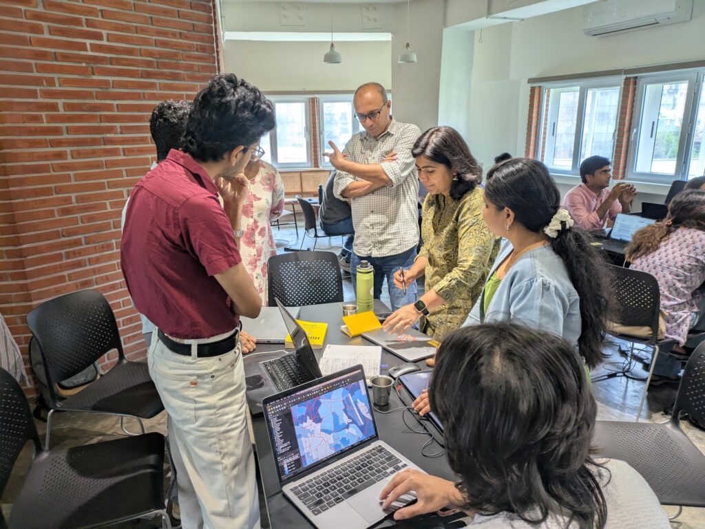
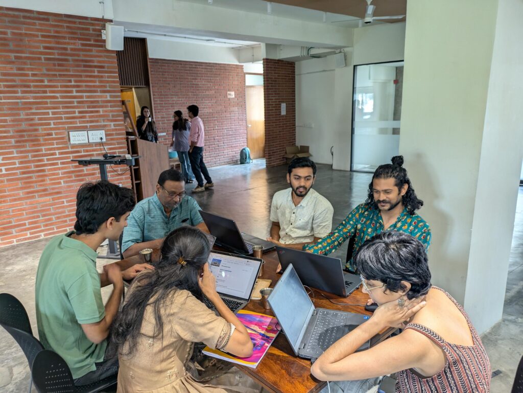
In the day long event, 36 participants, from diverse backgrounds, split into six teams, used data to answer questions about public transport in Bengaluru. The participants looked at access to public transport in different parts of the city and developed tools to understand access to parking and connections between neighbourhoods.
They used data on locations of bus stops and metro stations, bus and metro routes, frequency data, land use patterns in areas, etc to analyse the access to public transport in different parts of the city. The teams recommended solutions in the form of increasing service, utilising under-utilised infrastructure like the railways and suggested ways to optimise parking in areas with higher footfall.
Problem statements
While there were six teams, some of the teams tried to answer multiple questions leading to eight different problem statements being tackled during the course of the day. The problem statements they tried to tackle were:
- Developing a ward and neighbourhood level tool to find the “public transport affinity” of an area, to see which areas are well connected to the rest of the city.
- Understanding how utilising the existing rail network can reduce the load on other transport systems including roads and the metro, with connection to the airport as a use case.
- Public transport access in areas in the periphery in comparison with the centre, looking at Ullal and Jayanagar as use cases.
- Optimising bus stop placement in Sarjapur Road to make it accessible to more people.
- Connectivity around KR Puram metro and railway stations and its surrounding wards.
- Solving for proximity and frequency of buses in two adjacent areas – BTM Layout and HSR Layout.
- Bus connectivity to and from Koramangala and the rest of the city.
- Accessiblity and last mile connectivity for metro stations with a focus on parking.
Outputs
Ward and neighbourhood level affinity tool
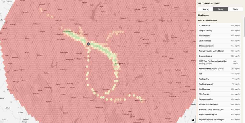
Vivek Mathew developed a tool to measure the “public transport affinity” for a given area. The area could be one of the 369 wards from the recent Greater Bengaluru Authority delimitation or it could be a neighbourhood defined by a hexagonal grid.
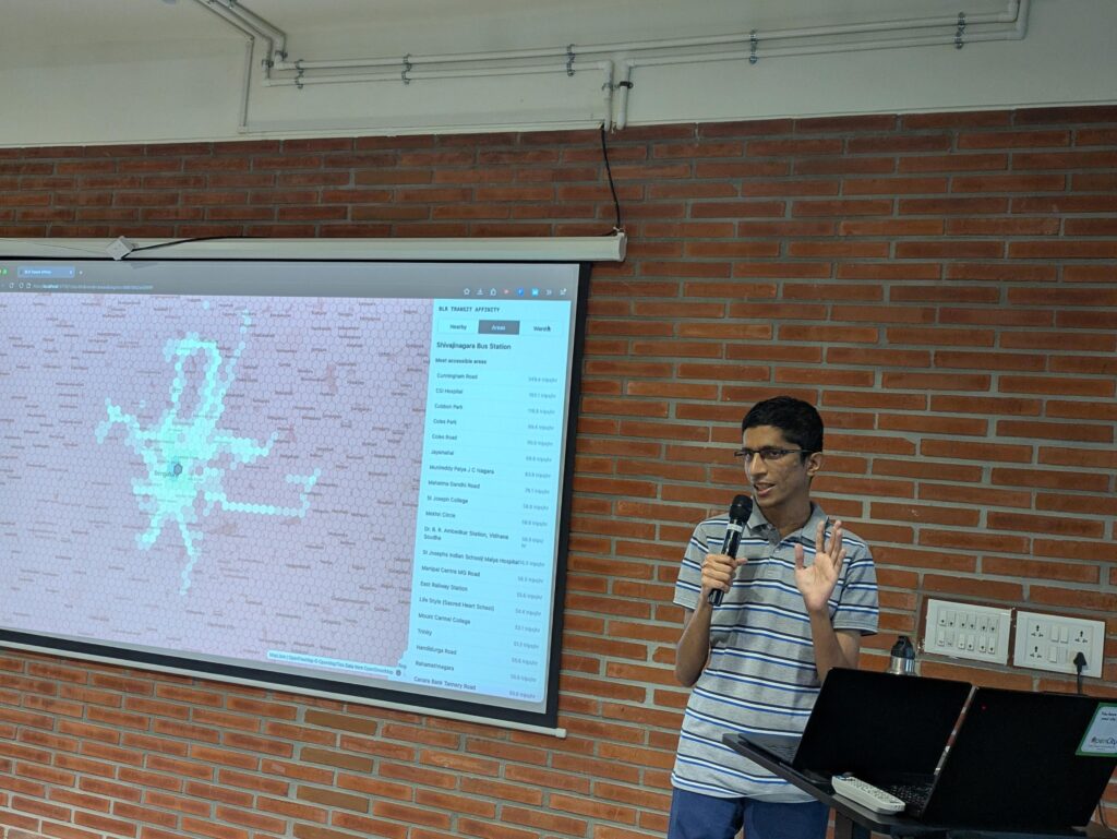
Choosing a ward or an area on the tool would tell you the areas you can easily go to, either by metro or through buses without needing transfers. He noted that areas close to metros have a higher range with more areas accessible, while with buses, except along the ORR, the range is much smaller.
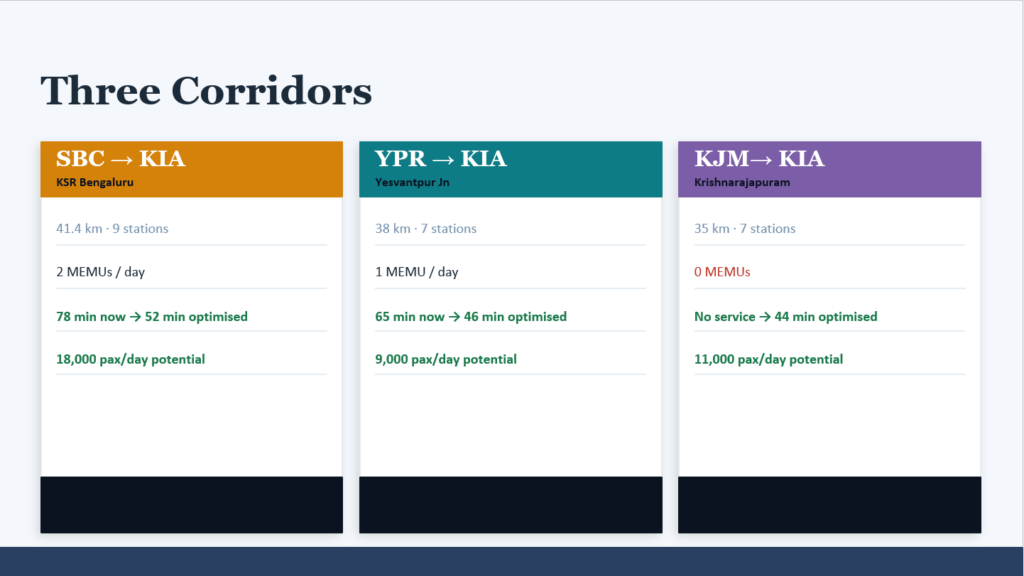
Utilising railways to augment connectivity to the Airport
Aayush, Aditya G, Aditya S, Kriti, Sireesh and Vivek looked at how the existing rail network to Devanahalli can be used to augment the existing connectivity options to the Airport.
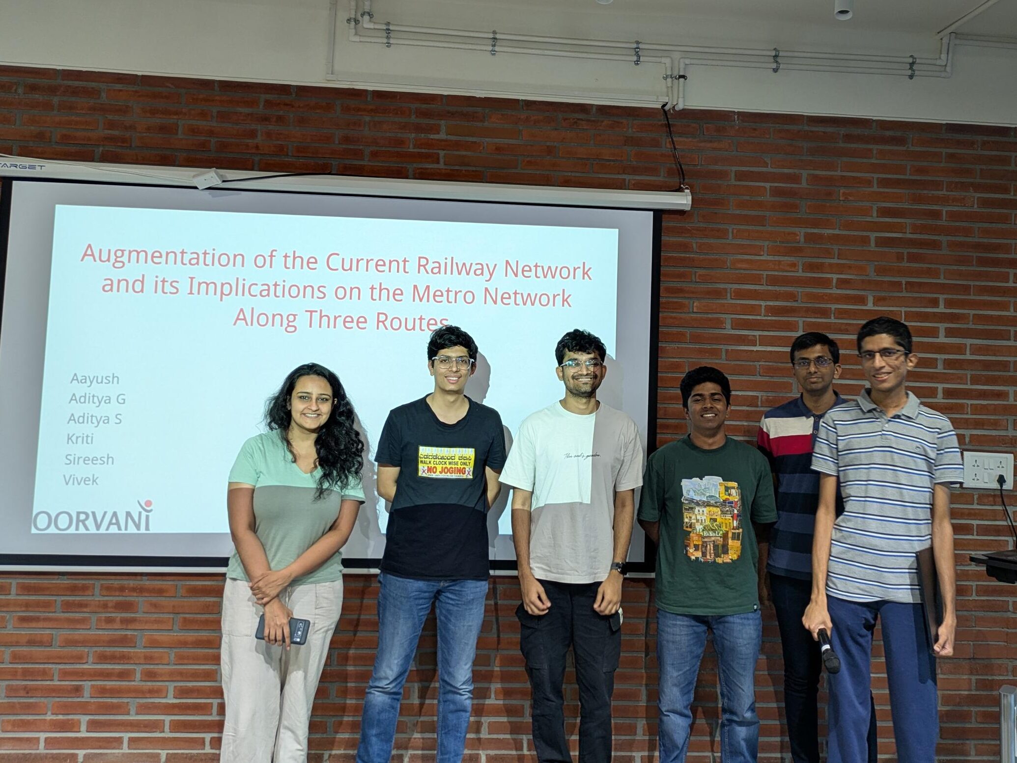
They noted that frequent trains running from three major stations – Yeshwantpur, KSR Central and KR Puram – can ferry approximately 38000 people every day to the airport. The solution would also need support in the form of buses to ferry passengers from the station to the airport, the last 5-10 minutes of travel.
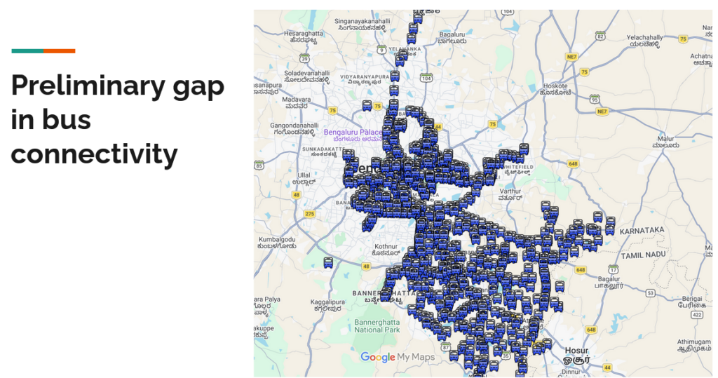
Disparities in bus connectivity across the city
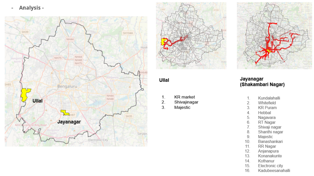
Deepa, Indu and Shishir looked at spatial inequalities in public transport within the city. They looked at two wards, Ullal and Jayanagar to constrast the bus connectivity and network between the two areas.
While Ullal is in the periphery bounded by NICE Road and the Old Outer Ring connecting Magadi Road to Kengeri, Jayanagar is central and the thriving heart of southern Bengaluru. They noted that Ullal is connected only to the old centres – KR Market, Majestic and Shivajinar. In comparison, Jayanagar is connected to multiple parts of the city, from the centre, north, south, south east and south west.
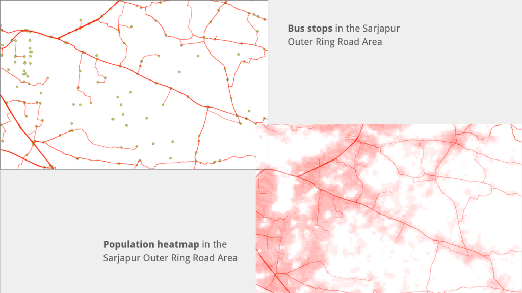
Optimising bus stop placement on Sarjapur Road
Abhinav, Vijay and Vikram looked at optimising bus stop locations on the busy and congested Sarjapur Road, to ensure that bus stops are within 500m of high density population clusters.

They correlated the location of bus stops with population density data from World Population Data heatmap to identify the locations which would need new bus stops, and where bus stops can be shifted to locations more optimal for users.
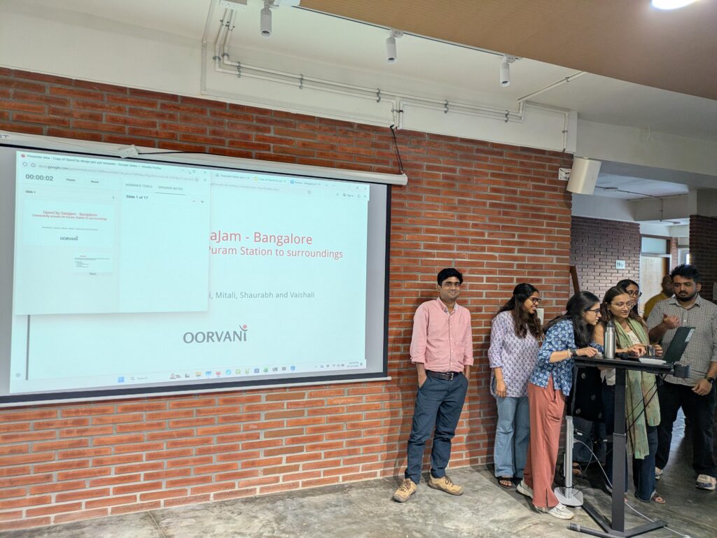
Connectivity around KR Puram Stations and surrounding areas
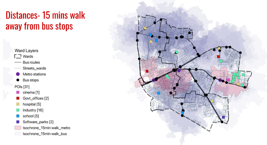
Abhishek, Arpana, Baani, Mitali, Shaurabh and Vaishali looked at bus connectivity around KR Puram stations – the metro and the railway. They identified four wards adjacent to the stations to identify areas with low connectivity to the stations.
They noted that while most internal areas are within 15 minutes walking distance from bus stops, the density of bus routes is low which may result in more waiting time. They also noted that bus stops don’t exist in safe accessible places, and the massive hanging bridge complicates matters for people to cross and access bus stops.
Bus connectivity for key adjacent areas – HSR Layout and BTM Layout
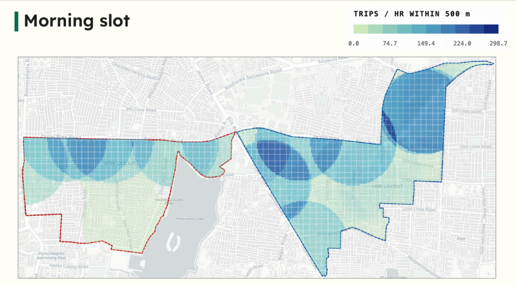
Aishwarya, Armaan, Gautam, Gayathri, Sababil and Srivatsa looked at bus connectivity and frequency in two parts of Bengaluru – HSR Layout and BTM Layout. Their goal was to find out proximity to frequent buses – a bus stop within 500m for most of the area, and a less than 10 minutes wait time for the next bus.
The team noted that areas close to the Outer Ring Road have good access to public transport with close bus stops and a high frequency of buses. However, for both areas the internal areas suffer from lack of bus stops as well as buses. They recommended that mini-buses of 7m and 9m length be used to connect interior parts to higher frequency routes. In the case of HSR the connectivity can also consider parts of Silk Board, Mangammanapalya and Somasundarapalya too, and not just Agara.
Bus connectivity to Koramangala
Alexander, Mandanna, Neha, Raghavi, Siddharth and Vaibhav looked at bus connectivity to the prime area of Koramangala. Apart from the number of bus stops in the area, they looked at the number of bus depots that are connected to Koramangala, and metro stations connected through feeders.
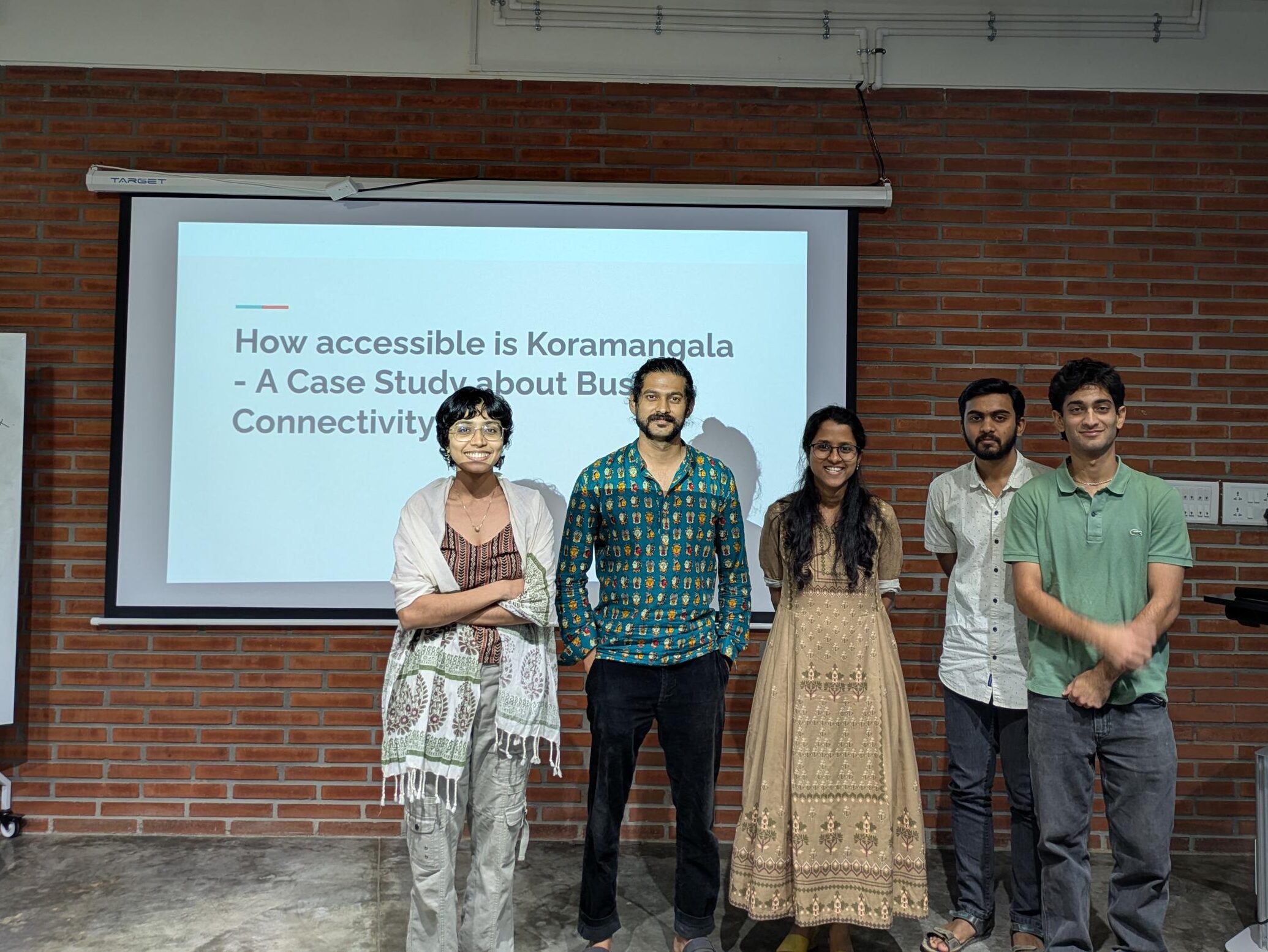
The team noted that Koramangala is connected to seven of the 50 depots in the city. In terms of feeders they connect to nine stations on the Yellow Line and four on the purple line. While buses connect to large parts of the city, connection to eastern parts like Whitefield and the western suburbs is lacking.
Last mile connectivity for metro stations
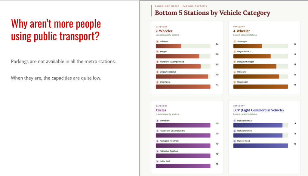
Aman, Joel, Keerti, Prahaladha, Shivani and Tulika tried to address last mile connectivity challenges around metro stations, with a focus on parking. They noted that lack of accessibility to and from metro stations might make it more difficult to use the metro itself.
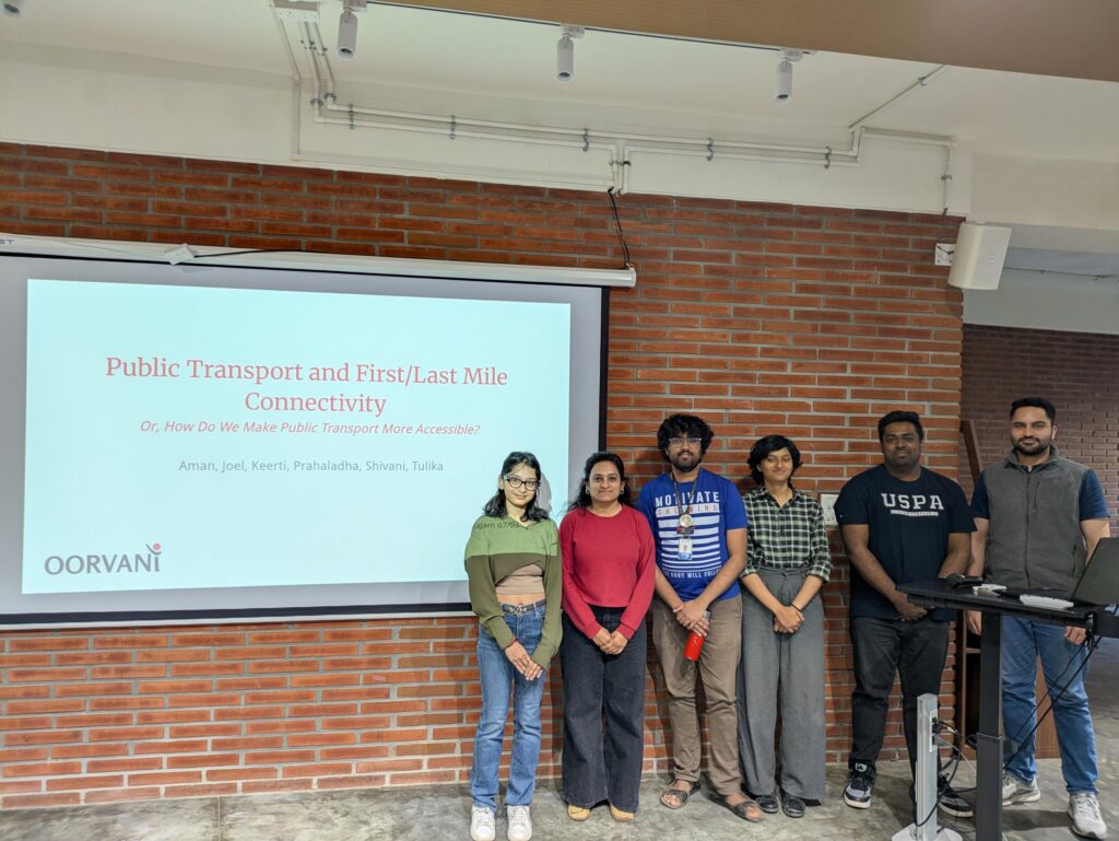
While Bengaluru metro is the costliest metro in India, they found that parking is not available at all metro stations, especially closer to the centre of the city. There is also a lack of consolidated information on feeders, parking and lines to take to get to different parts of the city. The team developed a dashboard to understand the first/last mile connectivity around metro stations.
They recommended that solutions like a journey planner, tailored to Bangalore’s on-ground situations, can be implemented for better governance if data is made open by the transport authorities.
Conclusions
Across all teams, the key finding was that public transport connectivity across Bengaluru is uneven, with strong links in some corridors but major gaps in western parts of the city and interior areas in major wards. Limited last-mile connectivity, poor integration between modes, and unequal bus coverage also reduce accessibility to jobs and key destinations.
With the limited data available, some of the teams were able to develop dashboards that could be used to understand connectivity and plan better connections for the city. These efforts underscored the need for more open data which can be used by citizens to help transport authorities devise better transit solutions.
Srinivas Alavilli, Mobility Fellow at WRI India, found it “heartening to see so many citizens roll up their sleeves and work on strengthening our public transport network by looking at data, and opportunities to improve access, reliability and connectivity. When mobility data is made available in open standards, people from diverse backgrounds come together and innovations are bound to happen.”
For the team of Friends of BMTC, “the event showcased a vast variety of ideas ranging from public transport infrastructure to optimization. All these ideas were well thought and covered a variety of daily issues and possible solutions for the same.”
Joel Joy, from the Centre for Data for Public Good, added that “with different and diverse ideas pooled in, we were able to overcome the road blocks we hit with the problem statements. It was engaging and takeaways were more than expected.”
According to Vaidya R, Program Lead Data at Oorvani Foundation, “with the emphasis on large infrastructure projects from the government like tunnel roads and elevated corridors it was refreshing to note the interest people from different backgrounds have on public transport and making it more effective for everyone in the city. Initiatives like this can also help the authorities find gaps in their coverage and close them.”
For Srivathsa Yajaman, a first time participant in a datajam it was an enriching experience – “so many young people with some oldies like myself, trying to visually understand the current state of public transport in Bangalore and using data to tell stories. Thanks for organising this and allowing us to be heard.”
The Bengaluru Public Transport Data Jam underscored the need to expand bus routes, improve service frequencies, strengthen metro feeder services and better integration of different modes of transport. Strategic planning based on demand can improve last-mile connectivity and ensure more equitable access to jobs and education across the city.