Can open data help solve a city’s challenges? What if the challenges are as complex as Bengaluru’s infamous traffic? Can a random cohort of people with diverse backgrounds and skills get together and come up with solutions?
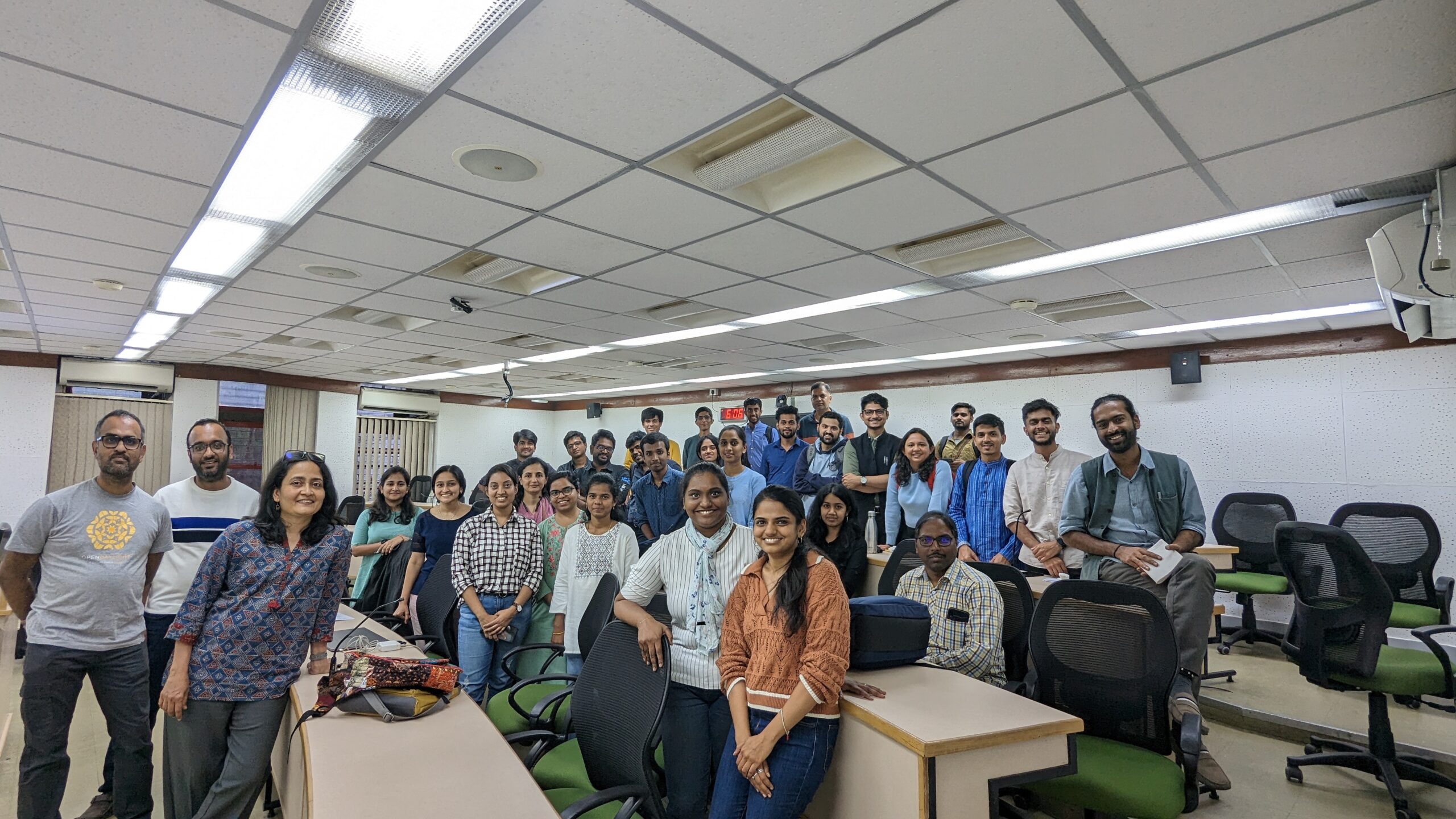
The Bengaluru Traffic Datajam held on the 4th of February, 2023 in the verdant campus of the Indian Institute of Management – Bangalore, tried to find out exactly that. The main goal was to get people together to have conversations about civic issues, in this case traffic, and get them to use public data to understand the challenges of a city and the processes that shape these challenges.
World Resources Institute (WRI) India was a knowledge partner for the event, and their researchers were at hand, being part of the teams and also guiding them.
There were close to 30 participants including those registered, WRI members and journalists from Citizen Matters. The participants were a mix of developers, urban planners, architects, GIS experts, journalists, and people who didn’t want to tick any of these boxes but were there as citizens who wanted to understand the issues in their city. The teams were formed to ensure there was not more than one person of each skill/background to give them the right balance and to bring in different perspectives into each team.


Problem Statements
The five teams started out trying to decide their questions, and it turned out to be the most challenging part. As Raj Bhagat of WRI said at the start, “ideally 75% of the effort and time should go in formulating the problem statement and only 5% in the actual tech.” Eventually the questions evolved to the following:
- Designing an efficient minibus service network for Whitefield.
- Analysis of road grid and public transport accessibility for MG Road.
- Developing a safety index for Bommanahalli based on land use, public transport and amenities
- Correlating change in right of way (ROW) with increase in congestion: Bannerghatta road and Mysore Road.
- Estimating the required fleet size for BMTC given the growth in the city’s population.
The teams dispersed to come up with their analyses and possible solutions. WRI and opencity members checked on them regularly to ensure they were able to ask the right questions and move forward in their analyses, and that they were able to find the datasets they needed from OpenCity.


Outputs
An efficient minibus service for Hagadur in Whitefield:
Herry G, Krishna Priya, Kamlesh Rao, Muthu G, Pragathi R and Raunak Goel of team “Anti-Traffic Traffic Club (ATTC)” set out to analyse the bus coverage in the Whitefield area by looking at the BMTC bus stops data.

What they found was that some areas had to walk much longer to get to their nearest bus stop and this presented an opportunity to BMTC to run a mini bus service.

The population in the area and areas of economic interest were considered.


Based on this, the following route was considered best for a mini-bus service.

Considering a population of 10,000, a usage of 10% and a peak hour demand of 70%, a usage of 700 people was identified. Given an 80% occupancy and over 25 trips for those 4 hours, a need for 5 to 6 buses was estimated.
Correlating change in Right of Way (RoW) or carriage width with increase in congestion: Case study considering Bannerghatta Road and Mysore Road
Aishwarya S, Aman Bagrecha, Amogh M, Chetan S, Janhavi M and Prasad RVS of team “Raste Nodi” looked at the effect of changing road width on traffic and congestion.

For this, they used Google Maps to identify spots where roads were wider and measured the RoW using Google Earth. This data was correlated with the traffic congestion data from Google Maps.
In the case of Bannerghatta Road, they found that a section that had an almost 50% increase in width at one point led to congestion regularly at the junction right after.


The same was observed at a junction on Mysore Road too. The team also came up with an innovative solution to ease all of Bengaluru’s traffic problems: Move the city to Davanagere and rebuild from scratch! Not sure the people in Davanagere would be too pleased to hear this though.

Analysing grids of road and road public transport accessibility:
Jyoti S, Kowsalya G, Nandhini M, Sandhya T Bhat, Sangami N and Vivek Mathew of team “Trippers” wondered how some parts of the city despite having good public transport connectivity continue to experience congestion.

For this, they identified M.G Road in the heart of the city as a use case, and analysed the grid of the road consisting of traffic flow, road character, land use along the roads and metro station footfall. The main focus was on public transport accessibility and public transport cluster.
They found that the stretch experiences traffic throughout the day from 6 AM to 10 PM, with relief seen only as early as 6 AM. This despite the fact that the road is 30m wide with 3m wide footpaths on both sides. The MG Road metro station also has high footfall.

They analysed the land use in the area, from the BDA Revised Master Plan 2031, the road grid network from OpenStreetMap, the pedshed (distance walked to get to a public transport facility), and the flow of traffic direction.


Based on this analysis they made the following recommendations:
- Route Rationalisation
- Streets for People – Pedestrian focused commercial and mixed-use streets
- Strategies to restrain private vehicle users
- Strategizing one way traffic pouring into MG road
Safety Index for Bommanahalli
Adhavan MS, Aman Bhargava, Abhinand G, Priyanka K and Sowmya M of Team “Urban Masala” tried to come up with a methodology to assess the safety of an area based on land use development, presence of public transport and utilities. Bommanahalli ward was considered as the use case.

To answer the question, they analysed the BDA RMP 2031 for land use details, BMTC and OpenStreetMap for the area grid, and considered three areas within the ward with varying land usage patterns.

Based on this, they came up with the following guidelines to improve road safety.
- Mixed Use Development: active and vibrant neighbourhoods
- Location of balconies and windows facing streets (Physical permeable frontage)
- Adequate street lighting
- Making parking spaces more visible and lit
- Road Safety by Design
Estimating required fleet size for BMTC given the growing population of Bengaluru city:
Abhimanyu S, Gayathri M, Nagendra N, Nandan N, Shreya K and Vikas K of Team “Zero Down-time” tried to estimate the bus fleet size required by BMTC to cater to Bengaluru’s growing population.

For this, they analysed the frequency of different routes based on BMTC’s bus stops and routes data on OpenCity and the estimated modal split in usage based on DULT’s analysis.


The projected population of Bengaluru till 2030 was compared with the BMTC fleet size from BMTC’s operational data on OpenCity. With these details the team came up with a number of around 8500 buses for the fleet size.
Key Takeaways
Given the short duration of 3-4 hours that it takes to formulate a question, analyse data, come up with analysis and recommendations, and put that down in a presentation, it would be a stretch to expect solutions for complex problems like traffic to emerge from datajam events. What exactly is the expected outcome of the event? More importantly, what were the takeaways for the participants themselves?
Amogh Manjunath, who is a software developer, said “in most events like hackathons the emphasis tends to be on coding and development as most of the participants are developers. In this event, I got to work on a solution with people from different backgrounds like architects and urban planners and it showed me different perspectives to something as common as traffic.”
Vikas Kumar, a journalist, said, “the workshop was very engaging and very fruitful discussions took place. We used this space to understand the urban issues through our personal experiences and use this kind of opportunities to find some solution for the same”.
Priyanka Krishnan, an architect and urban enthusiast, said “it was wonderful to be at the datajam. Learnt new things and interacted with people from different fields and experiences”. She also felt that having winning teams declared at the end brings in competition which adds excitement to the work done, while also being a good addition to one’s CV.
Raj Bhagat, of WRI, felt that “as researchers we tend to see data in a different perspective. Interacting with people from different backgrounds and how they perceive the same data was eye opening for us.”
For the team at Opencity, it was important feedback on what kind of datasets people look for, and more importantly how they search data, and how easily they are able to find it. This valuable feedback can drive how datasets are organised in the site.
Overall, the main thing was that, despite it being a Saturday and the participants having to travel to Bannerghatta Road from different parts of the city, it was a day filled with engaging conversations on civic issues and, most importantly, lots of fun.
