Bengaluru has had the Outer Ring Road(ORR) for decades. While it was initially a road around the city, now it is estimated that more people live outside the ORR than inside. Along with the movement of people, traffic has also grown leaps and bounds and sections of the ORR are in the news regularly for large pile-ups. Outside of the ORR, the NICE road covers a large section of the city from the North-west to the South.
There have been talks of other ring-roads to ease the traffic in the city. The premise is that a lot of traffic in the city originates from outside and is headed to other cities and not bound for Bengaluru. Building ring roads can help move them and reduce the load on the city roads. At the same time, while the ORR led the development of Bengaluru in the 2000s and 2010s, a need for a ring road beyond that for the next stage of development is felt.
On this front, Bengaluru Urban district is now looking at three ring roads in various stages of development – the Peripheral Ring Road (PRR), the Intermediate Ring Road (IRR) and the Satellite Towns Ring Road (STRR). What are these roads and where do they stand right now?
Peripheral Ring Road (PRR)
The PRR is the innermost of the new ring roads, and at the most basic level, it can be envisioned as completing the loop of the NICE road. It is to be developed by the Bengaluru Development Authority (BDA), and has been in planning for many years.
The total length is to be 73 Km and it passes from the NICE Road-Tumkur Road junction at Madanayakanahalli to the NICE Road-Hosur Road junction at Dodda Thogur through the following villages/areas: Soladevanahalli, Dodda Bylakere, Harohalli (near BMS School of Architecture), Venkatala, Bairati, Avalahalli (near Hoskote), Kannamangala, Chansandra, Kacharakanahalli and Sulakunte.

Currently, BDA has invited bids and one contractor has applied. Recently the guidance value around the PRR was reduced to enable cheaper land acquisition, and service lanes for the main carriageway were also dropped. Those losing land, mainly farmers were planning to approach the High Court on this. This is likely to cause further delays to a much-delayed project. Given that the PRR is an extension of the NICE Road, it is also expected to be a tolled highway.
The draft Detailed Project Report (DPR), Environmental Impact Assessment and other documents related to the PRR can be accessed here. The documents are from 2020 and obtained through RTI by Mr. Devare of the Bangalore Environmental Trust.
Intermediate Ring Road (IRR)
The IRR plans to connect all the small towns/prominent areas around Bengaluru city and even parts within the city, and was envisaged in 2007. While the road connecting Domlur to Ejipura inside Bengaluru City is also referred to as the intermediate Ring Road, this IRR is not be confused with that.
The total distance of the IRR is to be 210 KM. Most of these roads exist at various widths, and the plan is to develop them to a uniform 90m including service roads and footpaths.
The road connects all the major towns around Bengaluru: Nelamangala, Thavarekere, Bidadi, Harohalli, Anekal, Chandapura, Varthur, Kattamanallur, Budigere, Hunachur, Shettigere, Vidya Nagar on the KIAL road, Rajanukunte, Madhure and connecting to Nelamangala. At many points it crosses the district boundary, but stays within the state.

In 2017, the roads surrounding Bengaluru district were handed over to Karnataka Roads Development Corporation Limited (KRDCL) for development as a “Bengaluru Peripheral Roads”. A recent Government Order from the Bangalore Metropolitan Region Development Authority (BMRDA) from March 2023, decided to align the original Intermediate Ring Road with these roads developed by the KRDCL.
According to the order, “on 28.09.2021, it was decided in the meeting and reported that, by realigning the Intermediate Ring Road (IRR) to the alignment of Public Works Department roads already developed, roads being developed or roads which have been proposed for development by Public Works Department, Karnataka Road Development Corporation Limited (KRDCL), so that it would save Government money by avoiding development of two parallel roads in a very short distance.”
As of July 2023, 40% of the work was pending on this project. Once again, land acquisition was the main problem faced in completing the project. Even here, the parts between Nelamangala and Anekal are not considered. While the stretch between Nelamangala and Thavarekere was developed as a two-lane with shoulders much earlier, there has been no work beyond Thavarekere till Anekal. The section of the IRR from Harohalli to Anekal also aligns with the Satellite Town Ring Road, and that alignment could be formalised given that no nod from the Wildlife Board has been received or applied for.
Satellite Towns Ring Road (STRR)
As the name suggests this ring road is to connect all the satellite towns around Bengaluru. Initially intended to be within Karnataka, a realignment was proposed in 2018 to have the STRR encircle Hosur town also.
Given the inter-state dynamics, the project is undertaken by NHAI as part of its Bharat Mala Pariyojana and is to be executed in two phases. Phase 1 is from Dabbaspet to the Karnataka-Tamil Nadu border near Kolar passing through Doddaballapura, Devanahalli and Hoskote. Phase-2 is from Dabbaspet to the same point but passing through Magadi, Ramanagara, Herohalli and encircling Hosur.

Given that most of the roads of Phase 1 already exist, the project was about widening these stretches into four lanes. 80 km of this stretch from Dabbaspet to Hoskote was completed and inaugurated by the Prime Minister in March 2024 before the Model Code of Conduct kicked in. The road is tolled, and is being collected for some stretches of Phase 1 already.
While Phase 2 is yet to be started, it has been in the news recently as a part of the ring road passes through the Bannerghatta National Park. While the state wildlife board has given its approval for that section to be an elevated road, environmentalists and wildlife activists have raised concerns about the impact on wildlife. Given that the most significant traffic from Tumkur already has a way to go past Bengaluru towards Tamil Nadu, the significance and need for this section is not entirely clear.
Documents and maps pertaining to Phase 2 of the STRR can be accessed here and here.
Benefits Claimed
The feasibility and traffic study reports claim significant traffic, especially in the eastern parts of the city to justify these ring roads. While the STRR claims to reduce traffic in Bengaluru by 30%, mainly traffic from outside, PRR is planned to help deal with traffic that will be generated by the presence of upcoming layouts and residential projects.

The fact that the bodies involved for the design and implementation of each of these ring roads is different, means that there is some overlap in their design. In the Eastern parts of the city, the three ring roads are crammed within a few kilometers of each other, and in the case of the IRR and PRR even cross each other. All of these roads are likely to be tolled, which is likely to make things more confusing for those in the eastern parts.
While the raison d’etre for the PRR and the STRR are clear, the IRR falls in the gap between the two neither helping the city nor diverting any outer traffic. Given the increase in width of existing roads, there will be significant loss of trees, property, as well as residences in the villlages that dot these roads. Whether that is justified and what they get in return is unclear. If anything, given the proximity to Bengaluru, the IRR along with the PRR is likely to push more residential and other projects to these areas, leading to further expansion of an already water-stressed city.
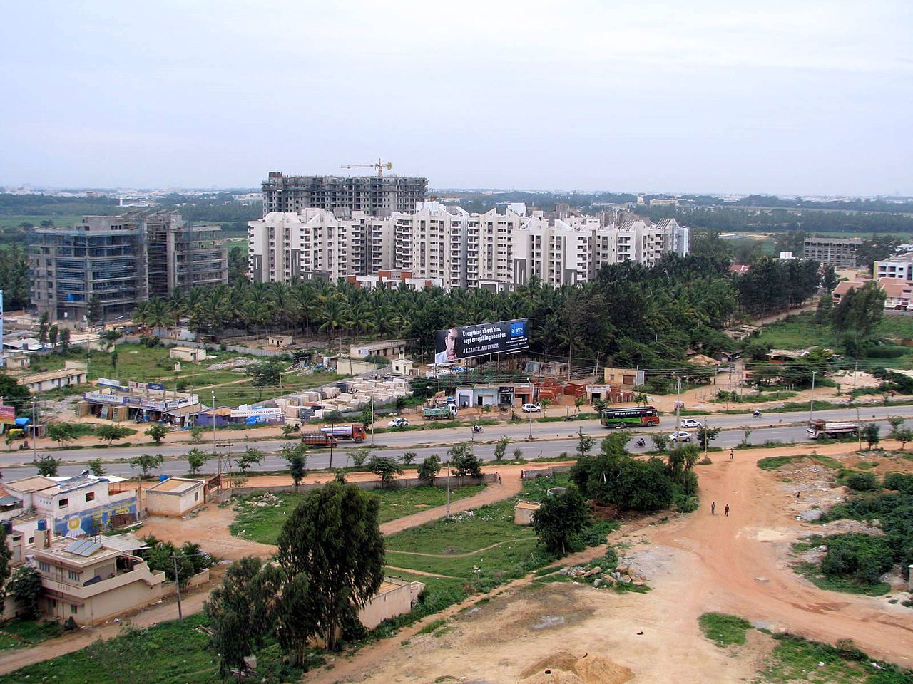
The main goal of the PRR and the IRR seems to be help the real estate sector even though the BDA claims that it is to help an already growing city. A recent analysis found that significantly large residential projects are coming up in the farther areas of the city, with no access to water, sanitation or proper roads.
While these three ring roads continue to be on the path of implementation, with thousands of trees cut, people losing their properties and houses, in a city that is already water-stressed, the question remains: who benefits?
You can use this interactive map to browse through the ring roads. Note that the alignment of the PRR is approximate based on their DPR.