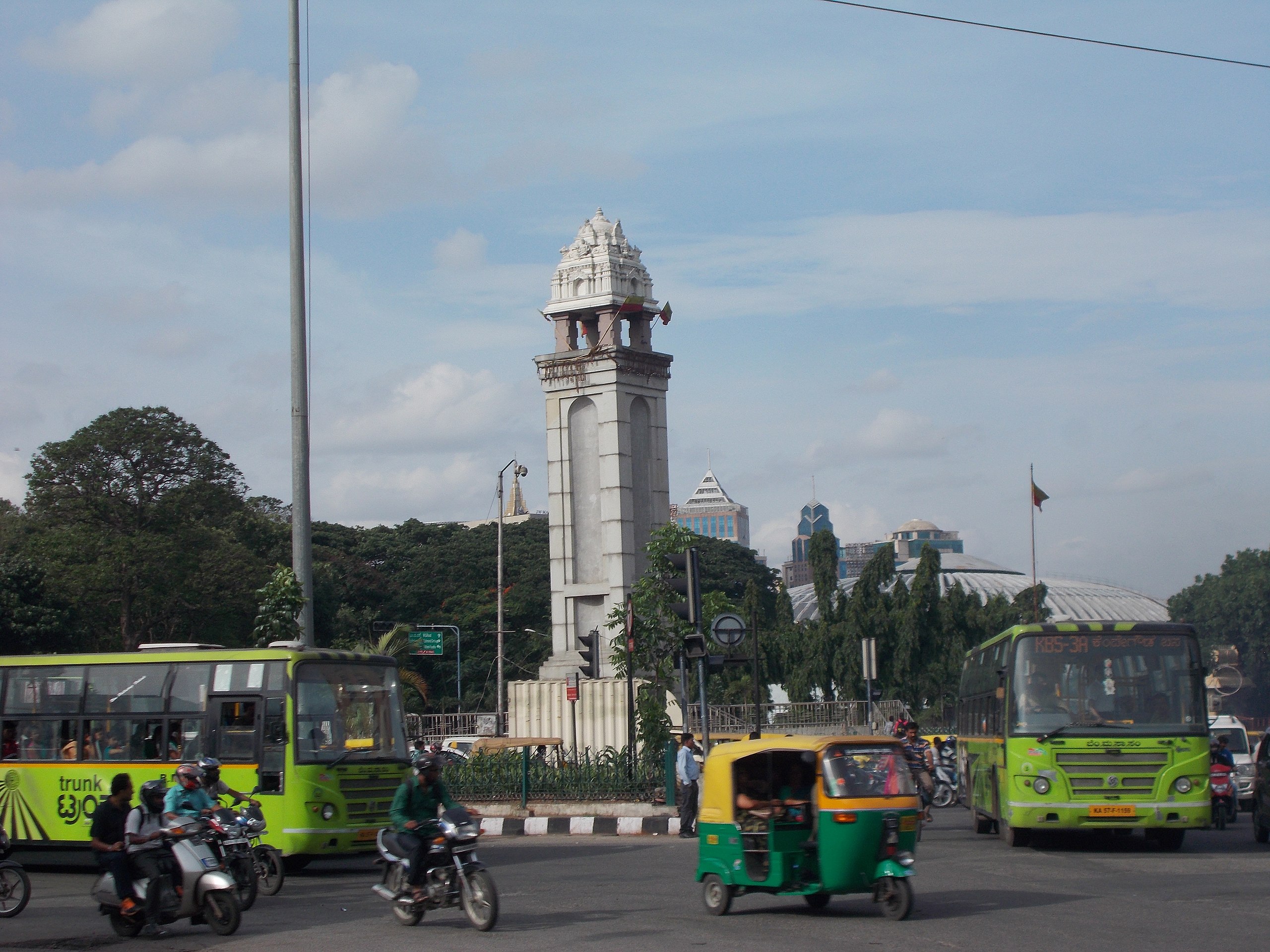
Category: Explainers
-
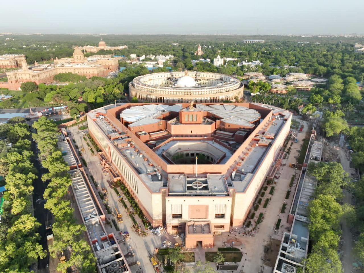
Resources – General Elections 2024
Here’s a list of resources, both in OpenCity.in and outside that you can use to find information regarding the general elections 2024. Some of these resources are mainly for major cities – Bengaluru Urban, Chennai, Mumbai and Delhi. 2024 Polling Past elections These are some of the important resources that can help you analyze the Continue Reading
-
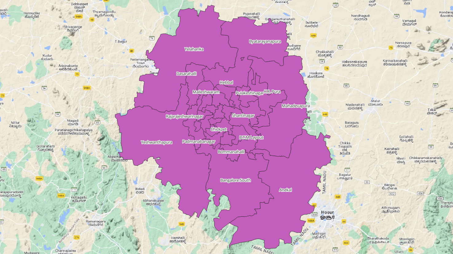
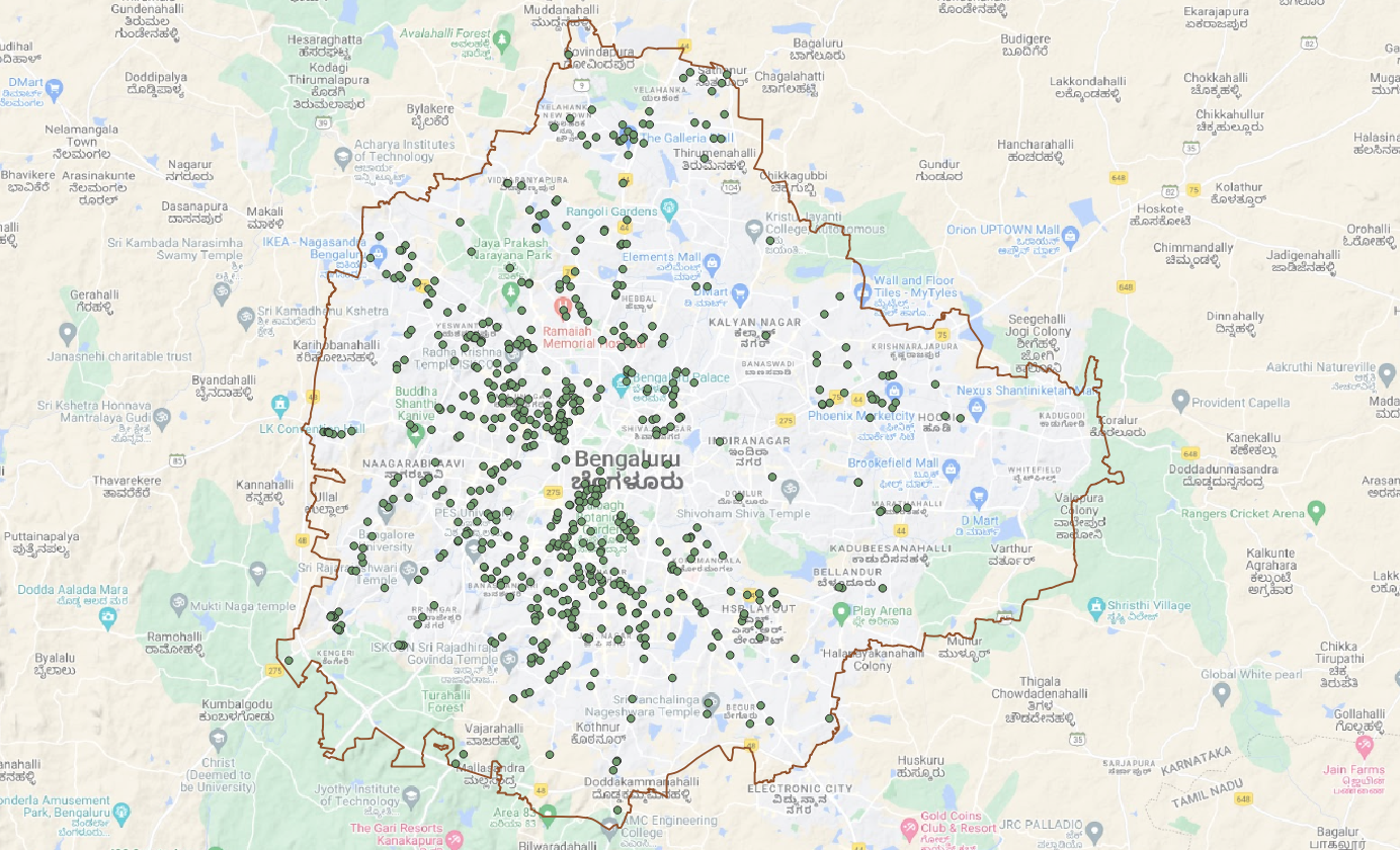
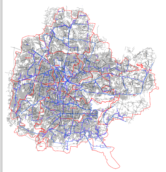
Find your Parliamentary Constituency
Use the below map to find your parliamentary constituency in Bengaluru Urban, Chennai, Mumbai and Delhi. Use the button the left of the screen to open the left panel. On this panel, you can choose the city and navigate to it. Or you can zoom in and out at all India level. The individual maps Continue Reading
-
Explainer: Pune Tree Census Data
The open data portal of Pune Municipal Corporation (PMC) has made public hundreds of datasets on different aspects of governance in Pune. There is data on census, public toilets, property tax, parks amongst others. One of the most interesting and large datasets on the site is the data from the Tree Census from August 2019. Continue Reading
-
Explainer: Understanding the BBMP Work Order Finance Process
What are the processes that drive the works that the BBMP carries out – from filling a pothole, clearing a storm-water drain to installing new streetlights? How does the money flow from the budget to the actual work? Where can you track this flow of money, including details of the contractors who executed the job?Basically, Continue Reading
-
BBMP RTI documents
OpenCity.in recently accessed documents from BBMP on standard procedures. These documents were obtained through RTI by Ravindranath Guru, an RTI activist and founding member of KRIA katte. They were digitized with the help of Omshivaprakash of ServantsOfKnowledge. The main advantage of the digitization is that the documents are available as text pdfs which can be Continue Reading
-
Explainer: Changes in the 225 BBMP wards between the proposed and final delimitations
Bruhat Bengaluru Mahanagara Palike (BBMP) proposed a new delimitation of wards on the 18th of August 2023. This delimitation divided the area under BBMP into 225 wards instead of the 243 wards which was the regime that was brought into force in 2022 under the then BJP government. This delimitation was open to the public Continue Reading
-
How to access the Karnataka Legislative Assembly Proceedings
Proceedings in the legislative assembly are not only an important part of our democratic process, but also help us understand how our MLAs have been doing in the past 5 years – what issues have been raised by them and what issues matter to them. For the 14th Legislative Assembly of Karnataka (2013-2018), you can Continue Reading
-
How to find your constituency in Bengaluru
Use the map below to find your assembly constituency in Bengaluru district for the Karnataka elections 2023.Use the button the left of the screen to open the left panel. On this panel, you can choose to see the wards (198 or 243) overlaid, or unselect them see only the constituencies, and find the constituency that Continue Reading
-
Resources – Karnataka Elections 2023
Here’s a list of resources, both in OpenCity.in and outside that you can use to find information regarding the elections. These resources are for Bengaluru Urban district polling information, and likely do not apply for the rest of the state. 2023 polling Your MLA’s performance Past elections These are some of the important resources that Continue Reading
-
How to Access Government GIS Data for Indian Cities/States
Different Indian states made public geo-spatial data about their states as well as important cities. This includes, among other things, important data like the following: Public domain Geo-spatial data: Not all states have made their data public. Some of the important ones that can be used are listed here: How to download the maps data: Continue Reading
-
How to Download Maps from GIS websites
Many map sites as well as public utilities put out their maps for public consumption. This data is exposed in the form of Rest URLs and can be downloaded as map files with the right tools. What you need How to download map files Continue Reading
-
How to extract maps from pdfs
Many public departments put out maps in the form of pdfs instead of map file formats (kml/kmz, shapefiles or geojsons). These maps are usually generated with Autocad and you can see layers on the map which resolve as you zoom deeper. Extracting the map layers from pdf to geojson This explainer will walk you through Continue Reading