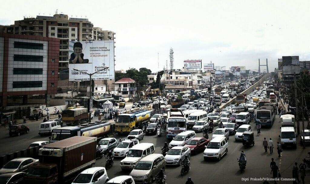
The Government of Karnataka recently proposed building 150 km of flyovers, underpasses and elevated corridors across Bengaluru. Plans to build flyovers and underpasses to decongest the city have been ongoing for more than a decade without yielding long term or significant results.
Apart from having limited success in addressing traffic congestion, many of these underpasses and flyovers also get stuck in the construction stage taking years to be completed despite the planned timeline being less than a year in most cases.
Given Bengaluru’s track record of electing the same MLAs while the ruling party at the Vidhana Soudha keeps changing, the constituencies in Bengaluru keep oscillating between opposition and ruling every five years. Projects started by one party in their favoured constituencies suddenly find themselves without funding for five years after every election.
At OpenCity we are trying to find and map all these under construction flyovers and underpasses that have been frozen in time without any hope of completion soon, exacerbating the congestion they were expected to solve. We request your help in mapping these projects.
How to contribute?
If you know such a flyover/underpass that has been languishing under construction (a prime example is the Ejipura flyover):
- Click on this map here.
- Click on the marker symbol(circled):

- Scroll to the location and click on the location.
- In the pop-up, mention the name of the junction and “Underpass or Flyover”. For e.g: “Veerabhadranagar Flyover”, or “Peenya Underpass”.
- And that’s it. And do share it along in your groups!
You can see the output here, the locations mapped by everyone: