Tag: Google My Maps
-
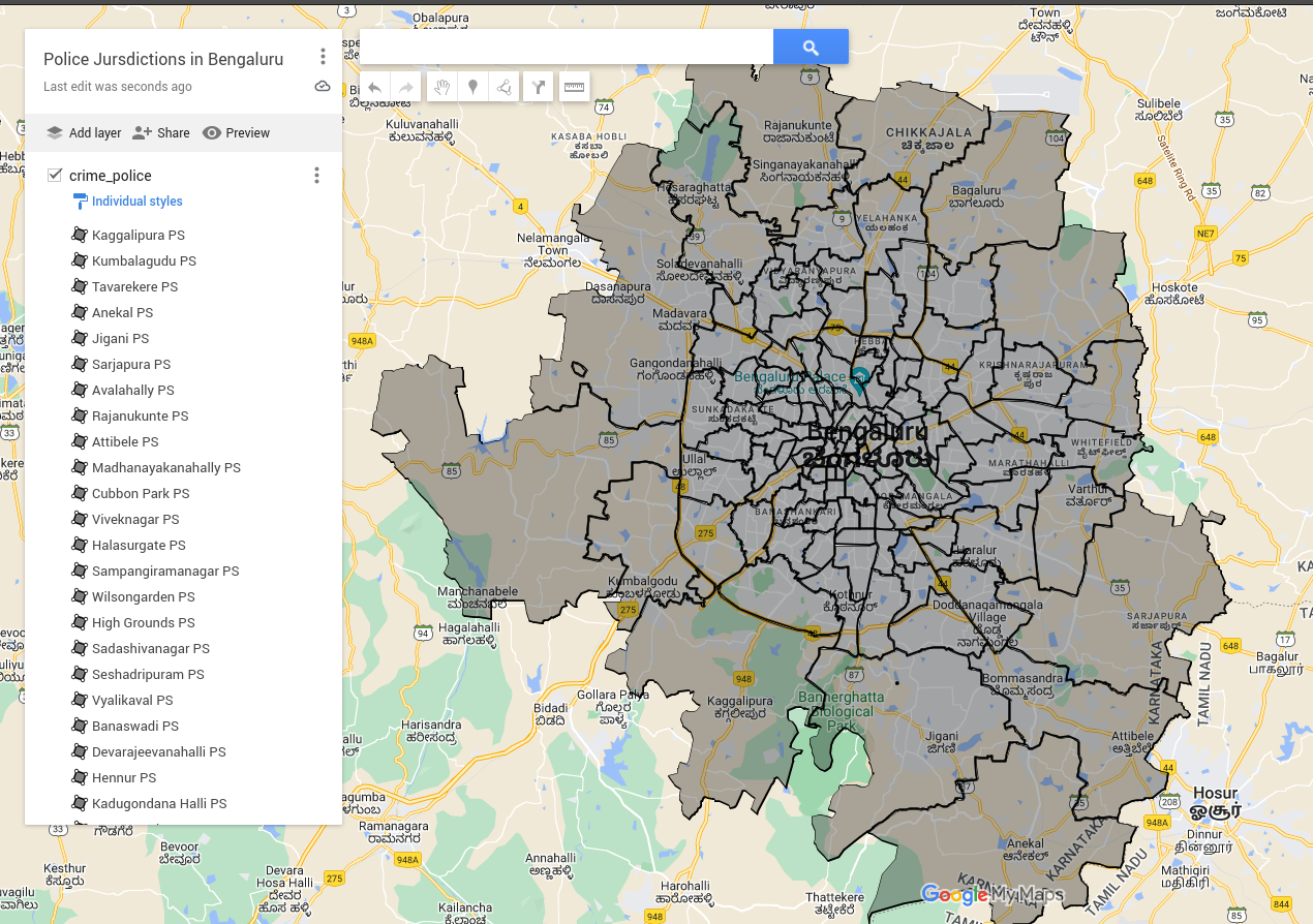
Explainer: How to view and interact with KML files
KML stands for Keyhole Markup Language and it is an XML based format for map files. These files contain map related data which can be divided into three types. They are: The map data stored on OpenCity.in is usually in the form of KML files and can be viewed on our OpenStreetMap base (which is Continue Reading