Introduction
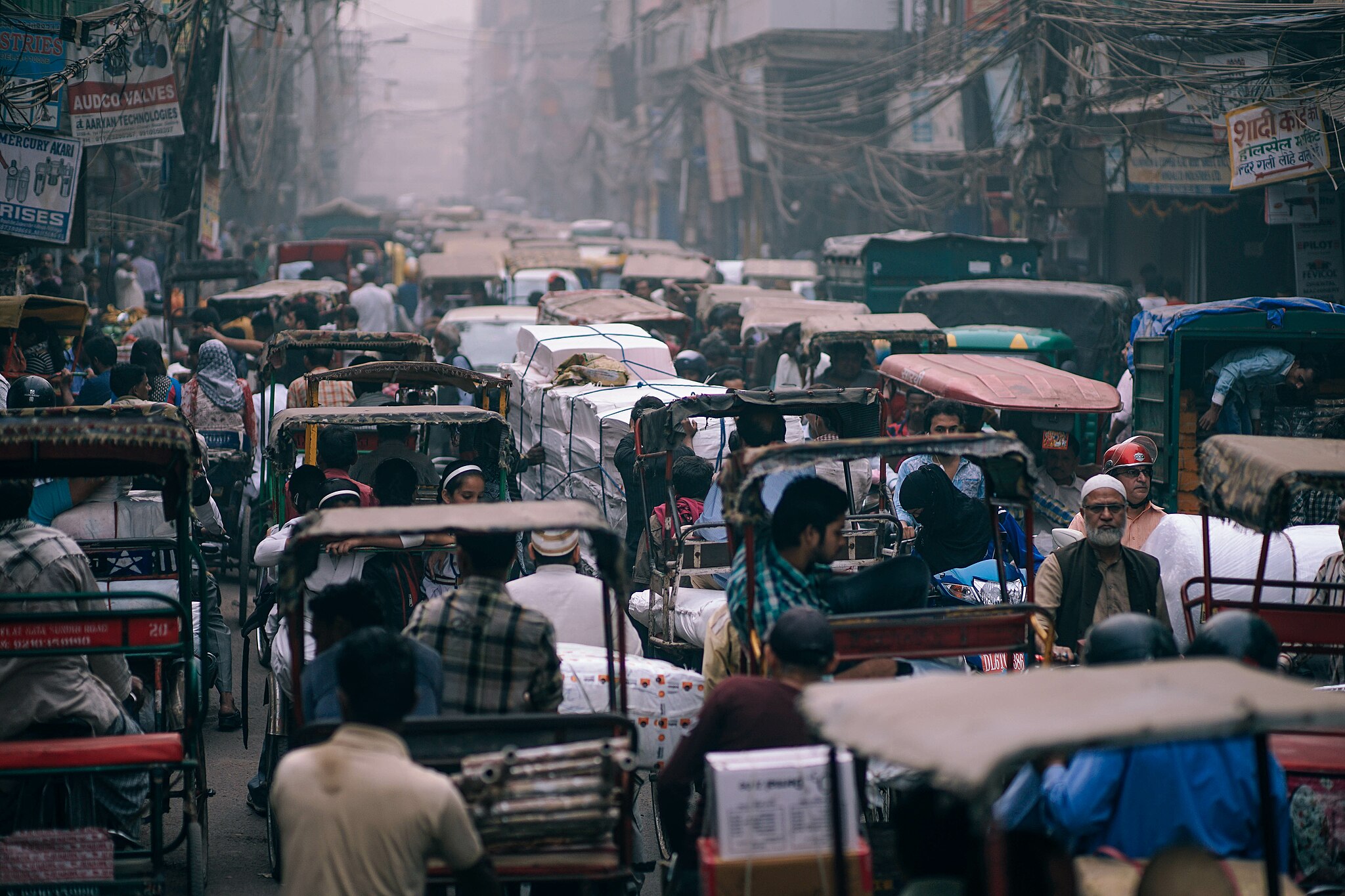
Looking into typical development trends in Indian urban settings, there is wide disparity in terms of the supply of necessary infrastructure based on spatial and socio-economic status of the localized areas in cities. Slums exist in most urban areas and more often than not they can be identified as the most deprived areas in terms of accessibility to physical infrastructure, which further leads to the worsening of the living conditions of the people living in these slums.
To bridge the gap between the level of facilities being provided and to identify the existing trends, a case study can be taken of Delhi, which despite being the capital city of India, still has a long way to go with regards to providing an equal and sufficient level of facilities to all regions in the city.
Hence, analyzing the availability of physical infrastructure in the slums of Delhi compared to the residential zones demarcated by the Delhi Master Plan 2021, with a focus on the sewer network, stormwater drainage network, and solid waste collection points, can provide valuable insights into the disparities and challenges faced by marginalized communities.
Methodology
For this particular analysis, firstly, data was sourced from Geospatial Delhi Limited (GSDL) for Delhi Jal Board (DJB) sewer lines, Department of Irrigation and Flood Control (DIFC) stormwater drains and finally Solid Waste Collection points in Delhi. This data was then respectively clipped and mapped for the residential land use identified in the proposed land use map of the Delhi Master Plan 2021 and the data on Delhi Slums provided by GSDL.
All the data sets used in this analysis can also be found and downloaded from the OpenCity.in website.
Findings
Sewer Lines
The availability of a proper sewer network is a crucial aspect of urban infrastructure. However, slums often face challenges in accessing adequate sewerage facilities. Slums tend to be characterized by inadequate sanitation systems, with a significant number of households lacking access to formal sewer connections. As a result, many slum dwellers rely on shared or community toilets, or they resort to open defecation, which can lead to health and environmental issues. In contrast, residential zones within the planned areas of Delhi are generally equipped with a well-developed sewer network, with most residential buildings having individual sewer connections.
To understand the level of service being covered by the sewer lines in Delhi when compared between slums and other residential areas, we look at the density of the sewer lines measured as length per unit area.
Note: The data used for sewer lines is from 2012, hence it is possible that there might be a difference in the existing spread of sewer lines. However, this analysis still helps identify and highlight the general trends found in most cities, not just Delhi.
Sewer Lines in Delhi Slums

The total area of slums in Delhi is 7.33 sq. km. and the total length of the sewer lines inside these slums totals to be 49.44 km. The density of sewer lines in slums comes out to be – 6.74 km per s.q. km.
It is important to take into account that these slums are spread all across Delhi and the level of connections in different slums is also seen to be variable with some slums having significant density of sewer lines while others are seen to have no connections at all. So, even this disparity needs to be addressed to provide connections all across the board to ensure comprehensive development.
Sewer Lines in Residential Land Use in MPD 2021

The Residential area proposed in the master plan of Delhi 2021 consists of 305.58 sq. km. of land and the sewer lines passing through the area total up to a length of 5820.51 km.
From this data, the density of sewer lines in the residential areas comes out to be 19.03 km per sq. km.
Comparitive Analysis
From the density of the sewer network calculated for slums and residential areas, we find that the density in residential areas is 282% higher than that in slums which is almost a 3x difference in the density.
This 3x difference in itself highlights the significant disparity amongst the two but when this is further layered with the fact that the average population density in slums is much higher than that in residential areas, it becomes clear that the issue and the disparity is much deeper than initially estimated. Considering the density of slums can be estimated to be 2.5x that of proposed residential land use, the severity of the situation becomes much worse and urgent.
There are several other aspects associated to this analysis with important observations also possibly arising from the composition of primary, secondary and tertiary sewer lines. Data for this and several other attributes is available on the OpenCity website.
Stormwater Drains
Stormwater drainage systems are essential for preventing flooding and managing rainwater runoff in urban areas. Limited or inadequate stormwater drainage infrastructure has several negative impacts in the city. As a result of an inadequate network, heavy rains often lead to waterlogging and the accumulation of stagnant water, which can pose health hazards and increase the risk of waterborne diseases. These hazards further reduce the quality of life of the residents in such areas and need to be addressed.
To highlight the availability of drains in different regions, the network density in Delhi slums is compared with the network density with residential areas demarcated in the master plan. The network density helps identify how large of an area, and effectively, the drainage load, being served by a given network and will allow the analysis of the coverage of different regions by the network.
Stormwater Drains in Delhi Slums

The total length of the stormwater drains under the DIFC inside slums of Delhi comes out to be 39.76 km. This network lies in a total area of 7.33 sq. km which gives us a density of 5.42 km per sq. km.
Stormwater Drains in Residential Land Use in MPD 2021

The estimated length of drains in the residential land use of the MPD results in 1308.28 km, and the area under consideration is 305.58 sq. km, which gives us a density of 4.28 km per sq. km.
Comparative Analysis
Despite what initial preconceptions may have one believe, the density of the drain network is actually slightly higher in slums when compared to residential areas. This can be attributed to various factors combining to produce this result.
Firstly, the data for the drains is sourced from 2016, while the residential land use identified is that which is proposed in the 2021 master plan, creating a scope for inconsistency.
Additionally, the drain network seems to be inconsistent in certain areas which may be attributed to data inconsistencies or the change in jurisdiction leading to data gaps.
But perhaps the most crucial aspect of this observation is that it is often noticed that slums struggle in terms of hygiene and are even often located along drains which are open and poorly maintained, further contributing to the unhygienic and unhealthy living conditions in slums. Better off sections of the society tend to move away from such drains, and it in effect becomes a cycle wherein slums get located near poorly maintained drains and on the other hand because these drains are located close to slums, they end up being further neglected.
On the flipside, in other residential zones, stormwater drainage systems are typically better planned and implemented, aiming to ensure efficient drainage and minimize flooding risks.
Solid Waste Collection
The management of solid waste is a critical aspect of urban sanitation. In slums, the availability of proper solid waste collection points can be limited. Residents often resort to informal waste disposal methods, such as dumping waste in open areas or nearby water bodies, contributing to environmental pollution and health risks. Conversely, residential zones within planned areas typically have designated solid waste collection points, such as community bins or individual waste collection systems. These areas usually benefit from formal waste management services provided by municipal authorities.
Solid Waste Collection in Delhi Slums

There are 75 waste collection point recognized by the Municipal Corporation of Delhi that lie inside the slums in Delhi and when this is paired with the total area of the slums which is 7.33 sq. km, it is calculated that the density of solid waste collection points comes out to be 10.23 points per sq. km.
Solid Waste Collection in Residential Land Use in MPD 2021

There are a total of 908 waste collection point recognized by the Municipal Corporation of Delhi that fall under the residential land use proposed by the 2021 Master Plan for Delhi and considering that the total area of the slums is 305.58 sq. km, it is calculated that the density of solid waste collection points comes out to be 2.97 per sq. km.
Comparative Analysis
Comparing the density of solid waste collection points for both slums and residential zones, it is observed that the density in the slums is approximately 3x that in residential areas. This can be attributed to observations such as the increased trend of privatized collection in various residential areas of the city, common collection services, in-situ treatment and other practices. However, in slums primary collection and direct dumping remains the only predominant method of waste disposal leading to an overall higher requirement of waste collection points in slums.
In addition to this, the maintenance and quality of spaces dedicated for waste collection along with the dhalaos in the city remains a major concern, with these spaces often becoming highly unhygienic and making the areas around them disease prone.
Conclusion
What we can see from our analysis is that there are significant disparities in the availability of physical infrastructure in the form of sewer networks, stormwater drainage, and solid waste collection points between slums in Delhi and residential zones demarcated by the Delhi Master Plan 2021. This difference is seen in both quantity and quality of the facilities.
Slums face more challenges in accessing these essential services, which can have adverse effects on the health, hygiene, and overall quality of life for their residents. Even when these facilities are accessible, their poor maintenance and quality leads to them becoming health hazards for the people living around them, increasing their vulnerability. It is important for policymakers and urban planners to address these disparities and work towards improving the infrastructure and living conditions in slum areas.
Here’s an interactive map to look at how physical infrastructure compares between slums and residential neighborhoods.