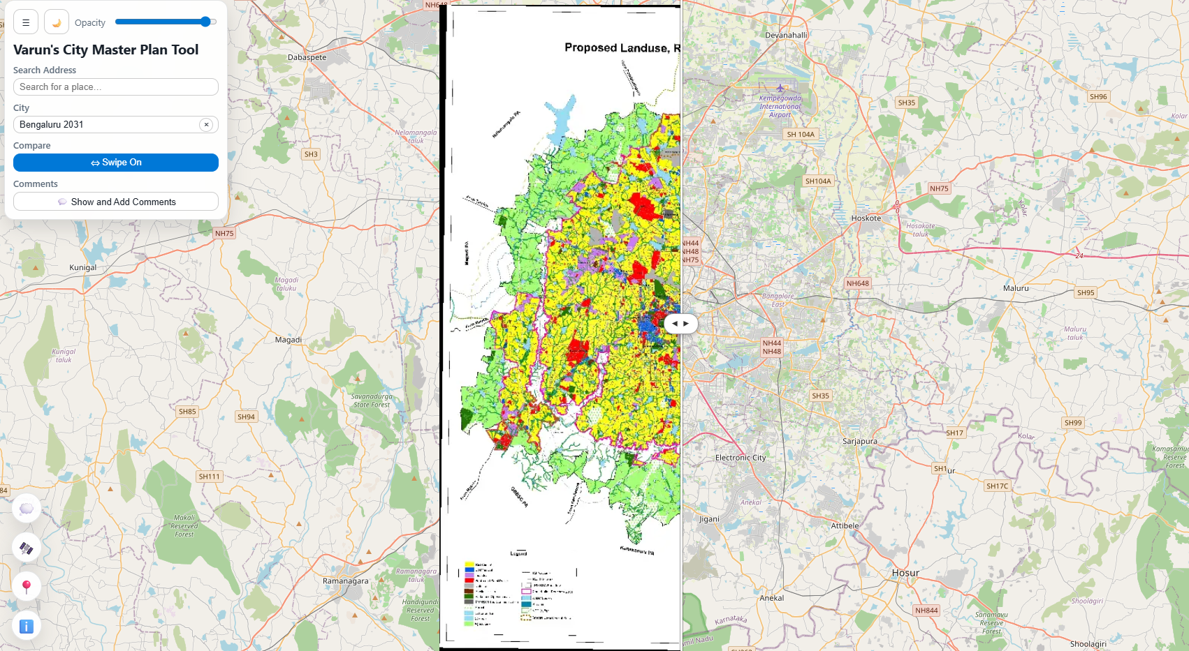
Master Plan Viewer is a lightweight web application that displays georeferenced raster master plans of Indian cities on an interactive map. It uses Cloud Optimized GeoTIFFs (COGs) for efficient streaming and OpenLayers for mapping. The app is developed by Varun Phadke, an architect and urban scientist, currently working in Hyderabad.
The app has 38 different masterplans covering 27 cities and metropolitan regions from Bengaluru and Chennai in the south to Srinagar in the North. It uses data from multiple sources – various government agencies, municipal corporations, development authorities, and other sources found on the internet.
You can visit the app here or view it below.