On the evening of April 29th 2026, the Indian Meteorological Department (IMD) recorded 111mm of rain in Bengaluru city. The massive rainfall led to large-scale flooding, uprooting of trees and a wall collapse that killed seven people. Stormwater drains are infrastructure that can help mitigate the effects of such massive rainfall events. A healthy drain system can absorb a large quantity of rain and help reduce and even prevent waterlogging.
Building a Resilient Bengaluru is an initiative by Mod Foundation in partnership with Oorvani Foundation. The initiative, supported by the Bengaluru Sustainability Forum Small Grants Programme, brings together an online masterclass, a series of Guided Citizen Audits and a datajam to deepen understanding of Bengaluru’s stormwater drain (SWD) systems and to collectively build a shared, public evidence base on their condition, governance, and everyday challenges. The dashboard from the audits and other data on SWDs in Bengaluru from this initiative can be accessed here.
Bengaluru Stormwater Drains Datajam
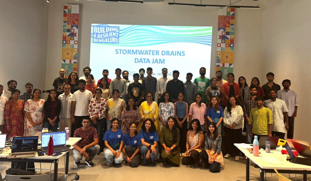
The Bengaluru Stormwater Drains Datajam was organised as part of this initiative by OpenCity and MOD Foundation in collaboration with WELL Labs, Biome Trust and Sponge Collaborative. It was held on the 23rd of May 2026 at the BLR Design Centre, Church Street.
The goal of the datajam was to bring together the data from the guided citizen audits, public data about the city, and people with diverse skillsets and experiences to analyse how the datasets correlate on different parameters.
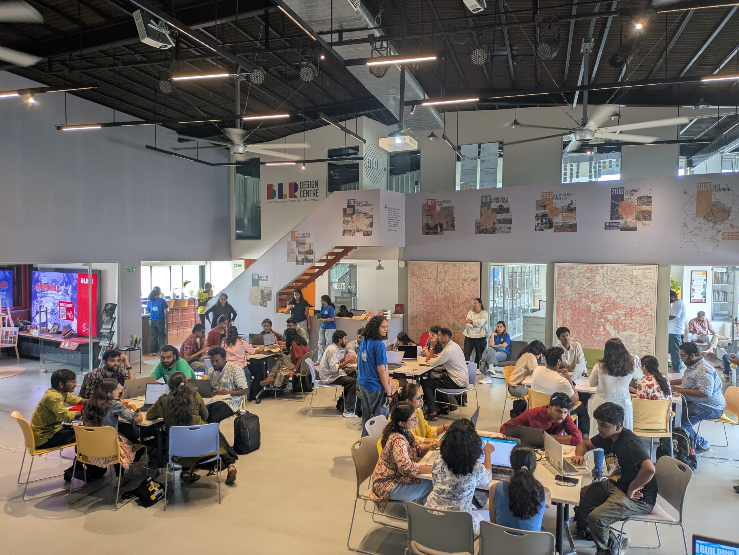
In the day long event, 37 participants from diverse backgrounds – urban professionals, researchers, data scientists, social sector professionals and active citizens used the data from the audits and public data to ask and answer important questions about the stormwater drains system in Bengaluru.
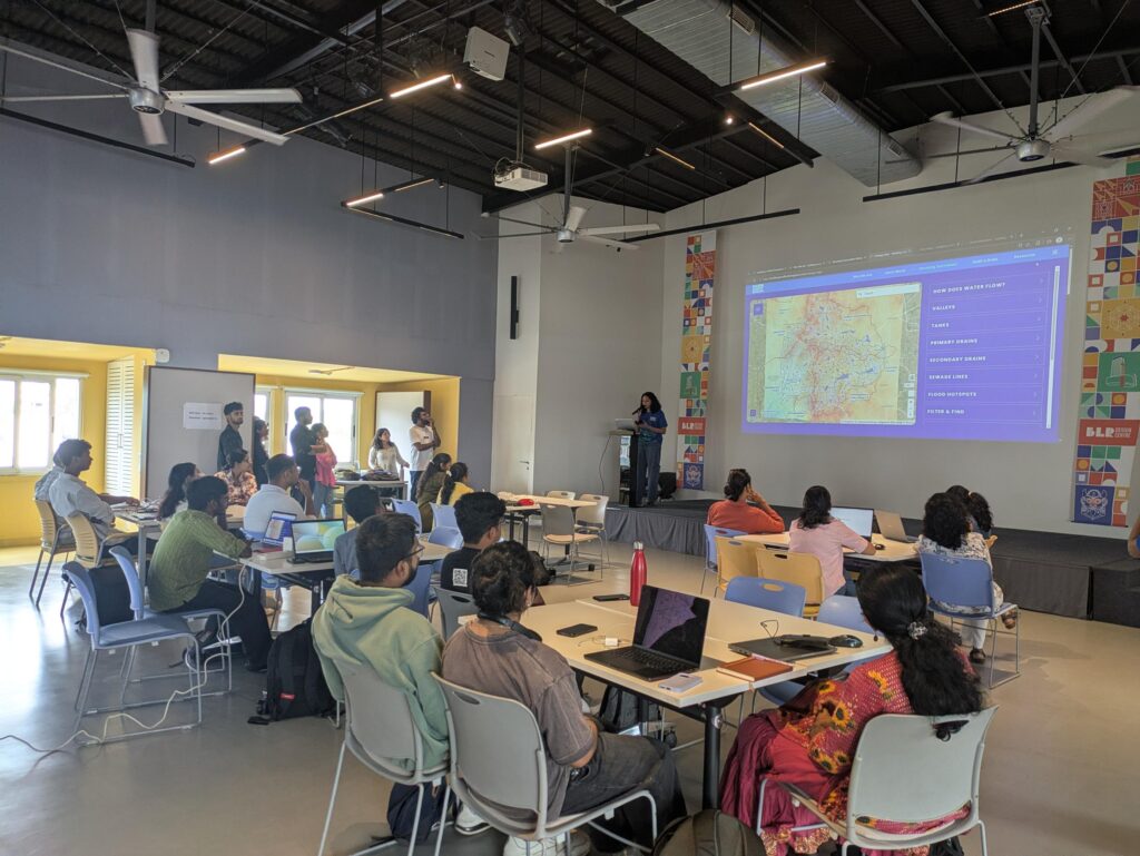
The participants used data from the audits, locations of informal settlements, the sewerage and water supply maps of BWSSB, land use data, satellite data for urban heat among others to correlate the drains network with other data about the city.
Problem Statements
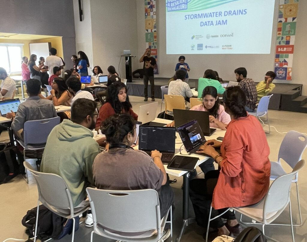
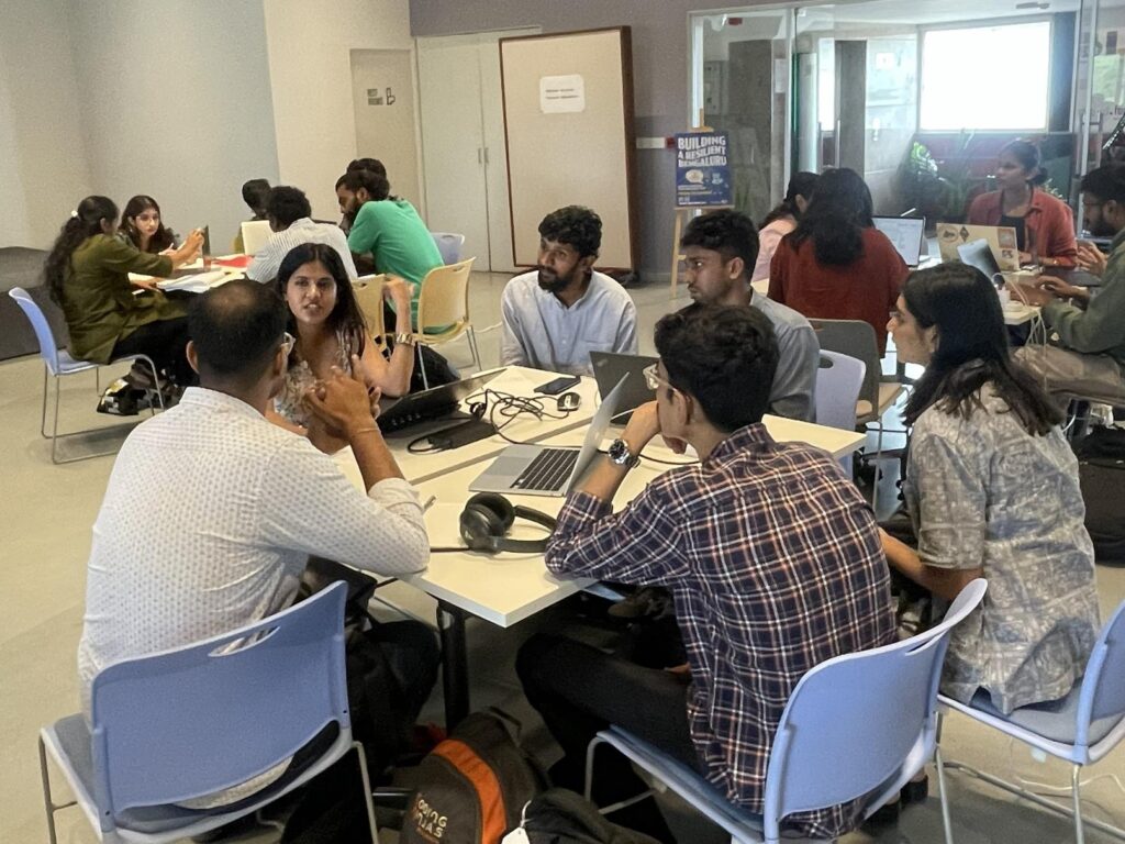
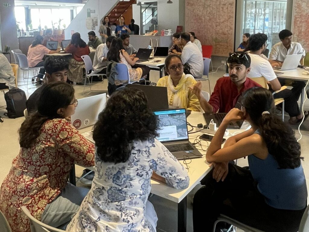
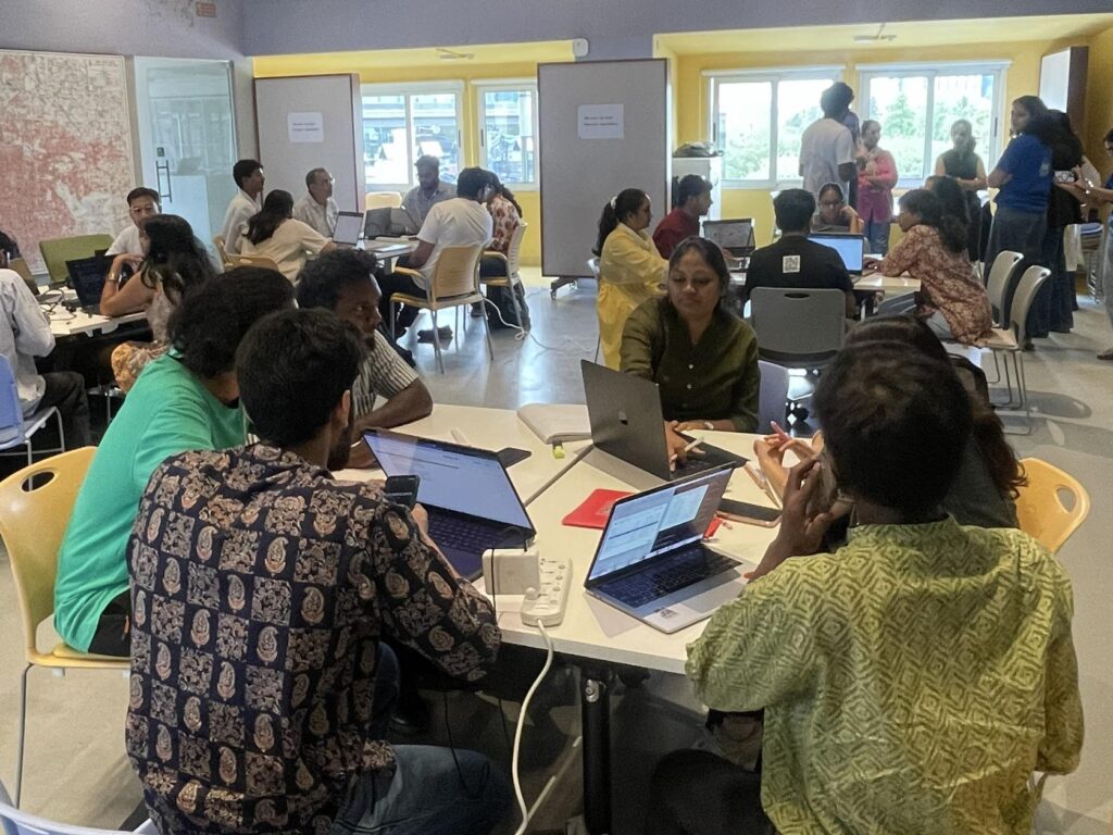
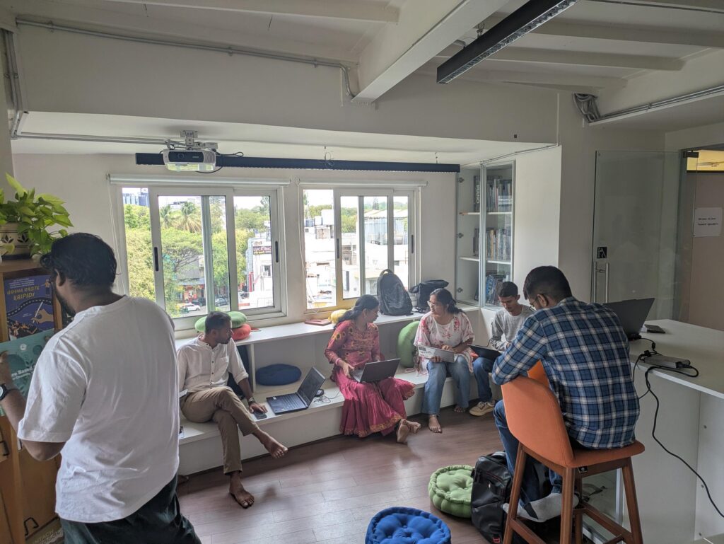
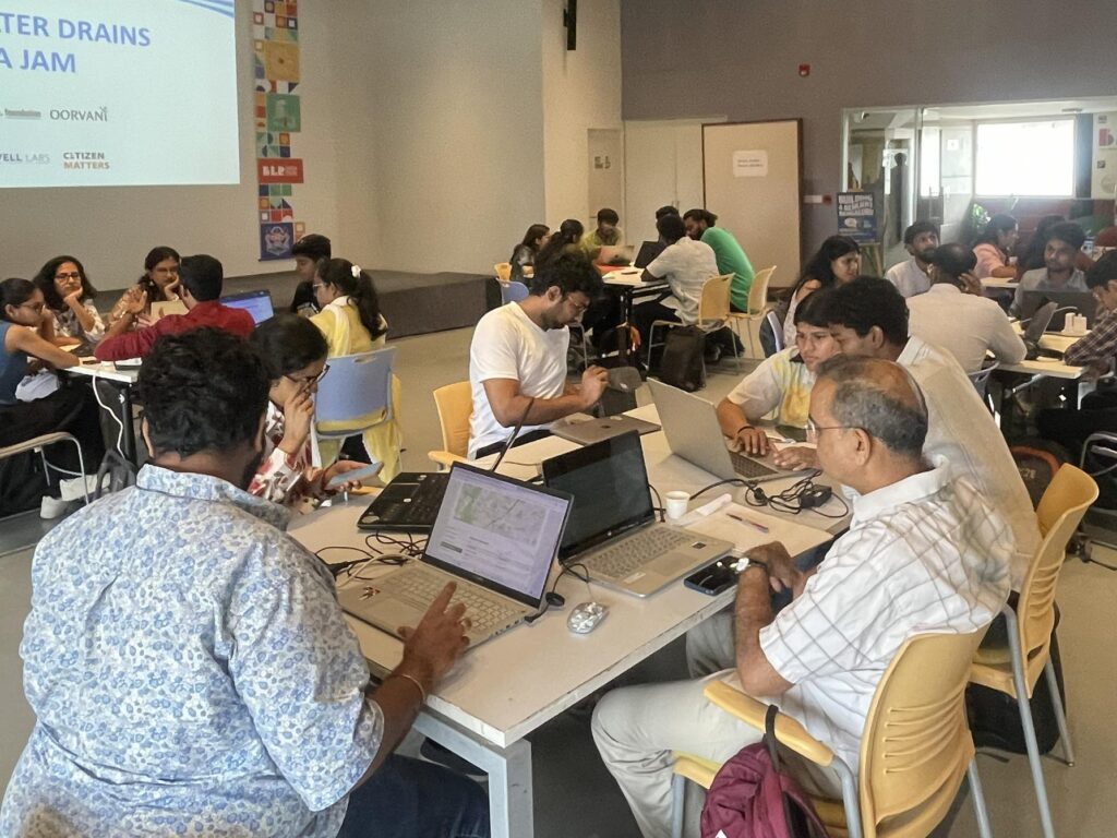
The thirty seven participants were split across six teams, and tried to answer the following problem statements:
- SWDs, flooding and informal settlements with an analysis of lost lakes
- SWDs and land use around them, and how it could be a causal factor for the state of the drains
- Urban heat and SWDs – ability of SWDs to function as blue-green infrastructure
- Urban flooding in a specific catchment – Shivajinagar, and the finance of mitigation
- Chances of contamination in the networks of water supply, stormwater drains and sewage and how if affects health
- Effectiveness of the natural systems and SWDs in absorbing flooding
Outputs
The socioeconomic angle to SWDs
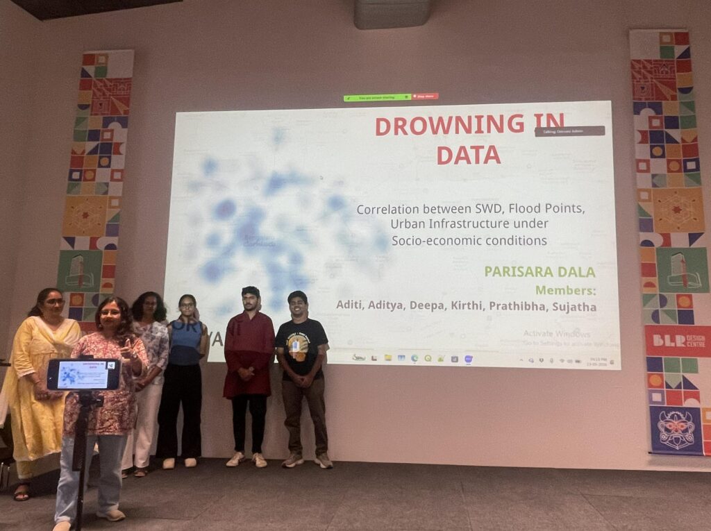
Team Parisara Dala comprising Aditya S, Aditi, Deepa, Kirti, Prathibha and Sujatha looked at the correlation between SWDs, flood points and urban infrastructure under socio-economic conditions. The team noted that many informal settlements abut stormwater drains and this could be a causal factor in both directions.
While the presence of storm water drains nearby could lead to health issues and a poor quality of life in general, the settlements might be contributing to the sewage flow into the drains itself. The team also noted that current areas of flooding were also once lakes that have been built upon and that floodwater is only following its old paths.
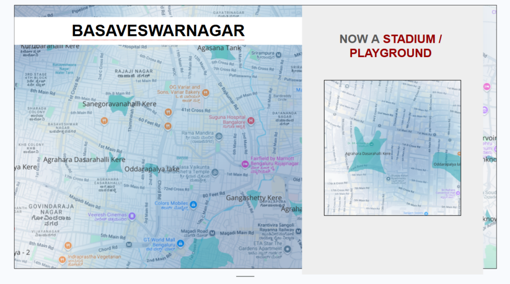
They recommended that the SWDs and lakes be restored, and encroachment along the SWDs be cleared. Future infrastructure should also be planned according to the city’s natural topography and water flow systems.
SWDs and Landuse
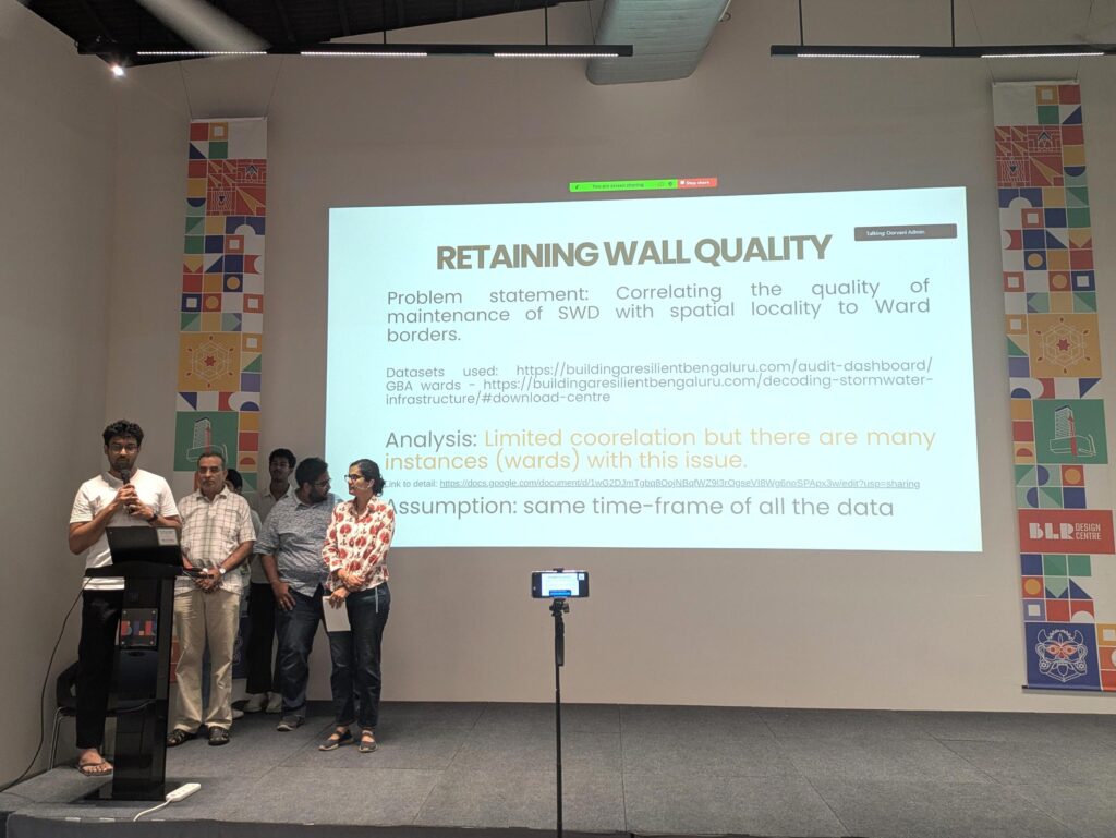
Aditya G, Kaushik, Manushi, Ruchika, Srinidhi and Vivek of team Watershed Guardians tried to correlate the state of SWDs with the landuse around them in terms of commercial, residential or industrial. They also looked at the presence of unauthorised inlets as identified by the audits and how they correlate to different landuse patterns.
The team noted that there were more unauthorised inlets identified in drains on the Vrishabhavathi Valley as compared to the other valleys. In terms of landuse such outlets correlated strongly with built-up areas than open areas.
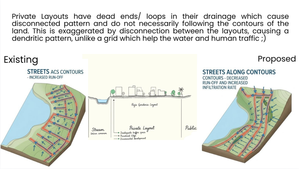
The team also noted how the way private and public layouts are designed affects the runoff and our relationship with drains and lakes. Layouts with their backs to blue infrastructure with roads ending in them lead to disconnected designs and don’t follow the contour of the land, while layouts designed along the drains or lakes tend to have less run off and higher infiltration rate, while also leading to less disconnection with the waterbodies.
Urban heat and SWDs
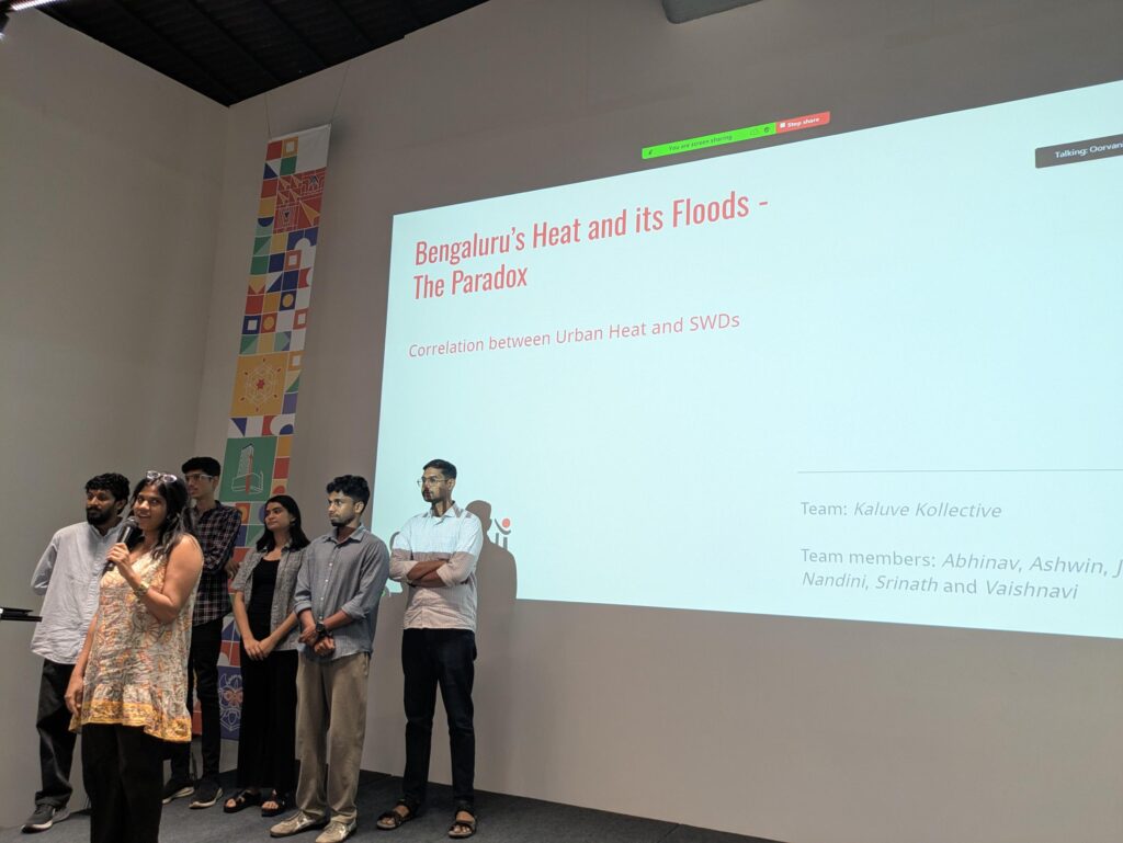
Team Kaluve Kollective with Abhinav, Ashwin Sivakumar, John, Nandini, Srinath and Vaishnavi analysed the correlation between SWDs and urban heat, to answer whether the drains function as blue infrastructure or as hotspots.
The team found that the same drain can function as a hotspot or a heat sink based on its typology. Closed drains tend to be heat sources as compared to open drains. This also suggests that dry drain beds would be heat sources when open. Drains that had buffers with greenery were heat sinks providing mitigation to the surroundings when compared to drains adjacent to roads or with built-up surroundings.
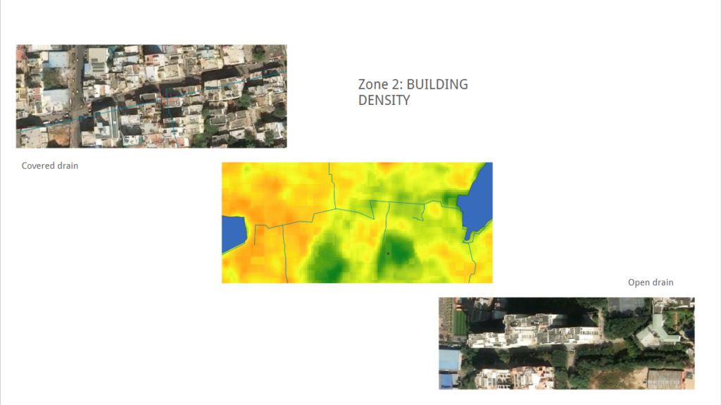
They noted that the presence of sewage as well as waste could significantly alter how the drain interacts with its surroundings and recommended that while buffers need to be protected, the water quality also needs to be ensured while preventing waste accumulation inside the drains.
Urban flooding in Shivajinagar and the finance of mitigation
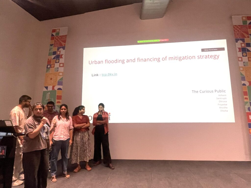
Anusha, Ashwin Subramaniam, Diksha, Dhruva, Priyanka and Santrupti of team The Curious Public analysed the state of drains in a specific area, taking the example of Shivajinagar constituency. They also looked at how spending in terms of work orders is addressing the work needed in the drains.
The team found that 88% of the surface area is impermeable and only 12% remains permeable around the drains in the area considered. Pollution of the drains was a major factor with sewage and solid waste recorded along the drains in the audits.
In terms of financing, the wards around the drains have seen varying amounts, with some wards recording no spends on drains. On average Rs. 15 to 20 Cr is spent on drains each year. However, the spending tends to be to develop more grey infrastructure which could be exacerbating the problem. Their web-app to view the state of drains in Shivajinagar can be accessed here.
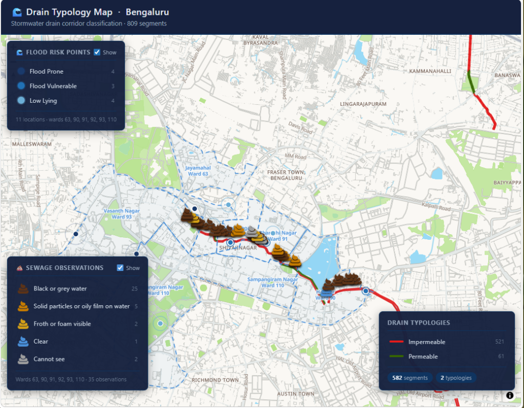
The team recommended introducing Decentralised Wastewater Treatment Systems (DEWATS) to manage the sewage flowing in the drains, phytoremediation within the buffer zones along the primary drain and technologies like floating booms to restrict solid waste.
SWDs, drinking water supply and sewage lines – chances of contamination and correlation with health
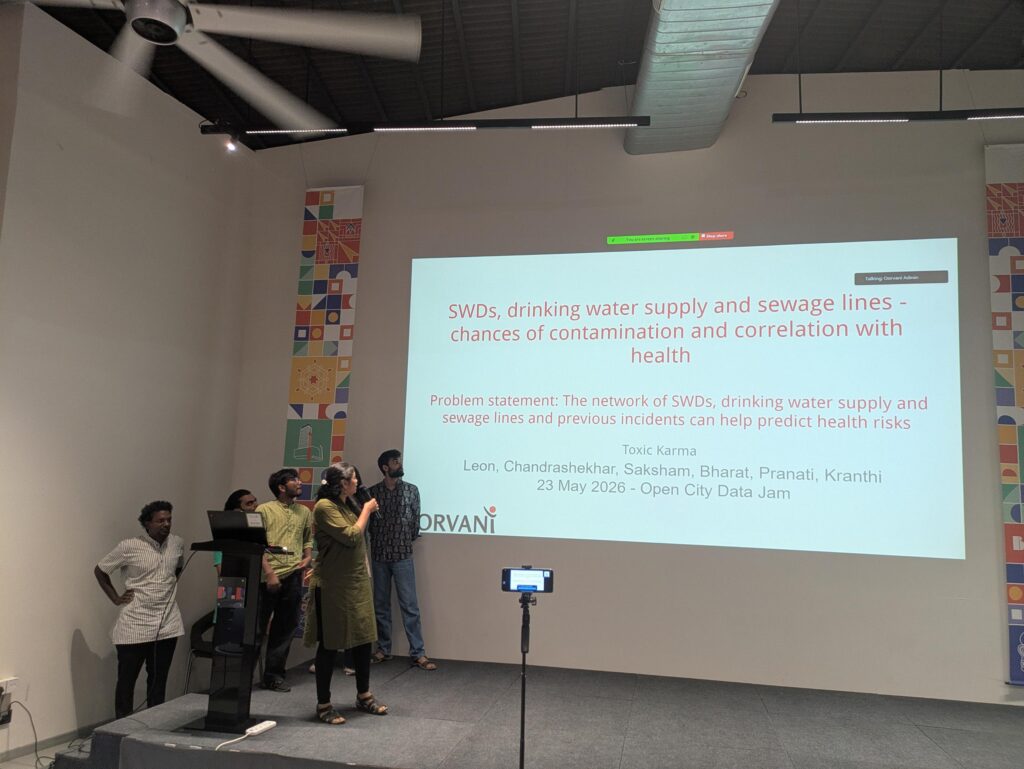
Bharat, Chandrasekhar, Kranthi, Leon, Pranati and Saksham of team Toxic Karma looked at the locations where the SWDs intersect or come close to sewage lines and water supply lines and how this affects the health of people in the surroundings.
The team noted that water health affects the health of people, and poor quality or contaminated water can lead to diseases like diarrhea, typhoid, dysentery, cholera, hepatitis A, amebiasis and antimicrobial resistance while also causing chronic issues like cancer and kidney conditions. Urban design and infrastructure affect proper drainage of water and flooding which can increase incidences of vector borne diseases like dengue, chikungunya and malaria.
The team developed a web app to map the hotspots where the water supply comes close to either SWDs or the sewage network and ranked the wards in the GBA area in terms of risk and need for intervention. Their app can be accessed here.
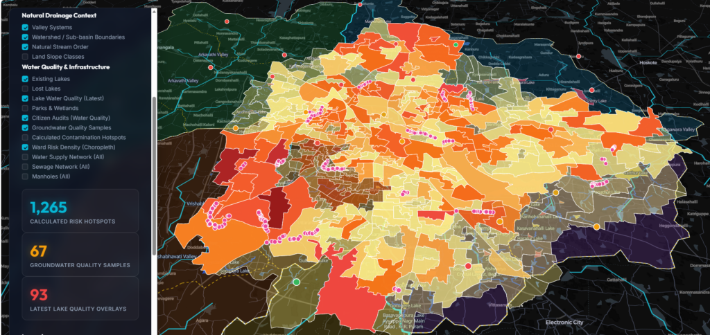
The team recommended monitoring of the different water systems with the results made publicly available, and monitoring health and making public the health impacts proactively. Customized bioremediation of water systems to maintain water quality based on factors like land use, topography is also the need of the hour.
Effectiveness of Natural Systems and SWDs in Absorbing Flooding in Bengaluru
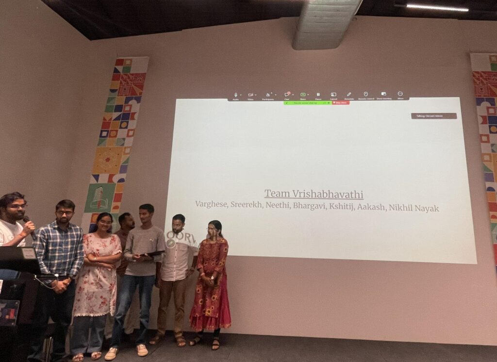
Aakash, Bhargavi, Kshitij, Neethi, Nikhil, Sreerekh and Varghese of team Vrishabhavathi looked at how the system of lakes, drains and wetlands managed floodwaters historically, and how things have changed over the years due to urbanisation and concretisation.
The team noted that flooding is not merely an infrastructure issue, but a hydrological and ecological issue as well. The team noted that while satellite data shows that the city of Bengaluru has been seeing increasing build-up over the decades, the rainfall has also been increasing.
They identified the different land use charactersistics and their surface water run-off noting that the types of land use with most run-off, which is built-up urban, has been increasing at the cost of shrub/open grassland and agricultural land which have around 10% of the run-off.
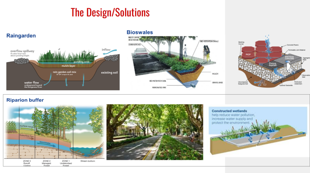
They recommended that we improve water recharge and reduce run-offs through nature-based solutions like permeable pavements, bioswales, rain gardens, increasing urban canopy, constructed wetlands and better management of riparian buffers.
Conclusions
The participants in the Stormwater Drains Datajam underscored the need to protect our vital storm water drains. With real estate at a premium, there is a lot of pressure on storm water drains, with their buffers decreasing over time. The recent notification from the Urban Development Department reducing the buffers is a case in point.
The teams noted how such pressures and changes will only harm the residents of the city in the long run. Having green buffers around the drains can also help provide cooling mitigation when we are faced with unprecedented urban heat.
Many teams noted that the city has lost lakes over time, and how the loss is the cause of flooding in specific areas which came up on the built-up lake beds. Cases like Manyata Tech Park, Kendriya Vihar, the Kempegowda Bus Terminal, Basaveshwaranagar and Tavarekere were shown as examples.
With different water networks criss-crossing, the potential for leakage and contamination was also brought up.
Amritha Ganapathy of MOD Foundation noted that “through our Building a Resilient Bengaluru campaign, we’ve been using citizen audits to document the lived realities around stormwater drains. It is exciting to see that the data contributes to larger conversations around public health, contamination, and condition of the infrastructure and the spending going into it. It shows the immense potential of citizen science in helping cities better understand themselves.”
For Shashank Palur, Hydrologist, WELL Labs, “the datajam gives the participants a first-hand exposure into the condition and status of the data and the infrastructure around storm water drains. The objectives taken up by each team also reflected their on-ground observations.”
Ayushi Biswas of Biome Trust noted that the audits and the datajam help people understand the challenges around SWDs in their full complexity “from irregular drainage systems or flooding issues, and questions of sewage, waste, land use, ecology, public health, finance, governance, and everyday urban life.”
According to Vaidya R, OpenCity/Oorvani Foundation, “the SWD audits along with the jam are a great way for people to engage with an important artery network of the city. People not only get to see the state of stormwater drains on the ground, they also get to look at and make sense of the overall data and how it fits into the rest of the city, in terms of where people live, how we have been building around them, and treating them over the years.
For the participants, the experiences was about bringing the data and the people together. According to Vivek, a participant, “I felt energised seeing and working with citizens from diverse disciplines, all trying to collectively understand the water landscape and how to move towards an even better city and world.”